Geospatial information is changing nations for the better. Discover our global geospatial services and learn how OS can help with land solutions and consultancy.

International geospatial consultancy and services
Discover how you can improve your country’s geospatial capabilities
Our global geospatial services

What we do
We use our geospatial mapping and consultancy expertise to help countries all over the world improve their geospatial capabilities. Discover how we can help your nation grow to its full potential.

Meet the team
Our international team of experts have years of global experience between them. Get to know our experts who are here to help you build your geospatial capability and increase your capacity.
Grow your economy
Drive economic growth, technological innovation, and sustainable development with OS geospatial data
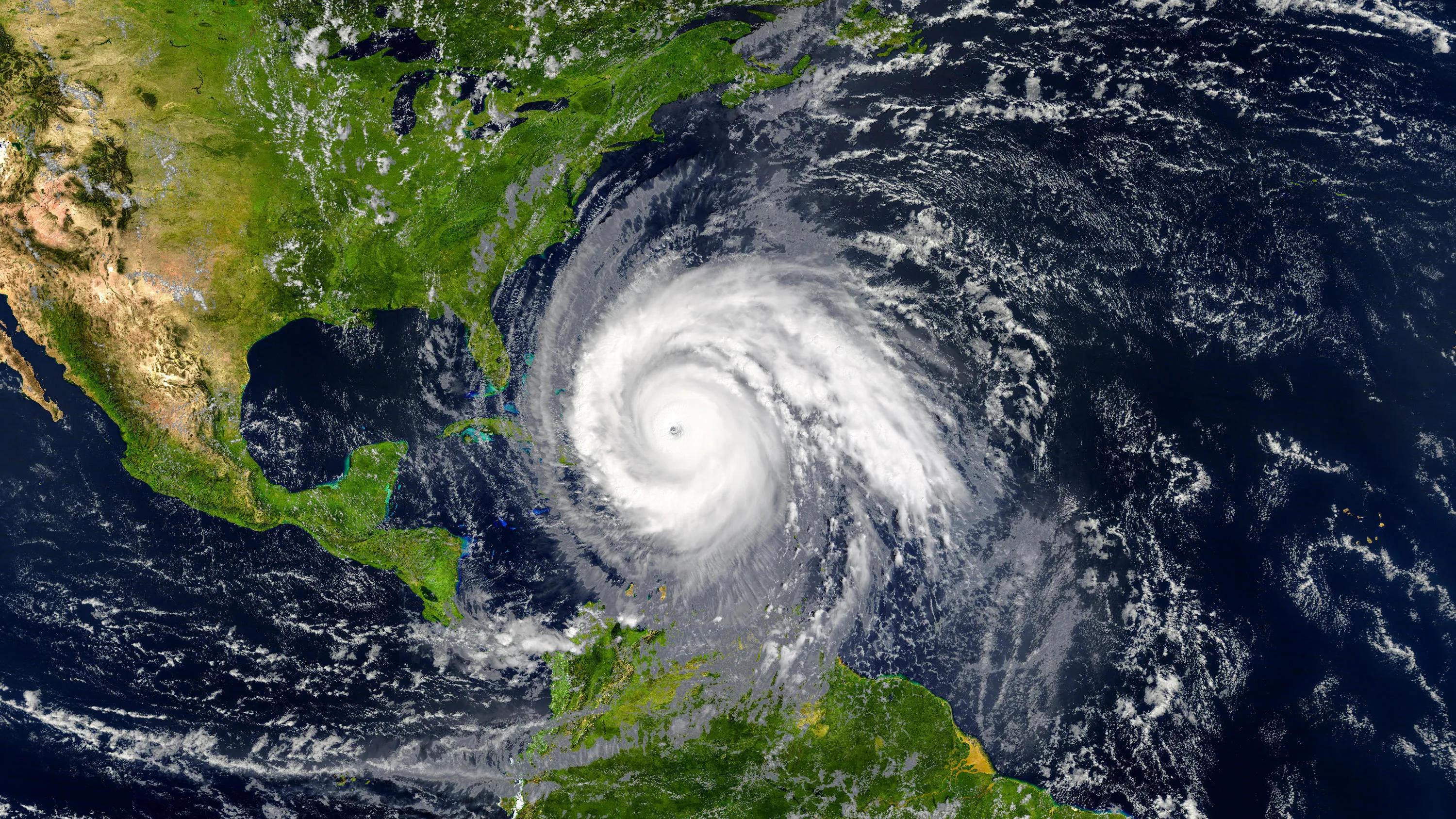
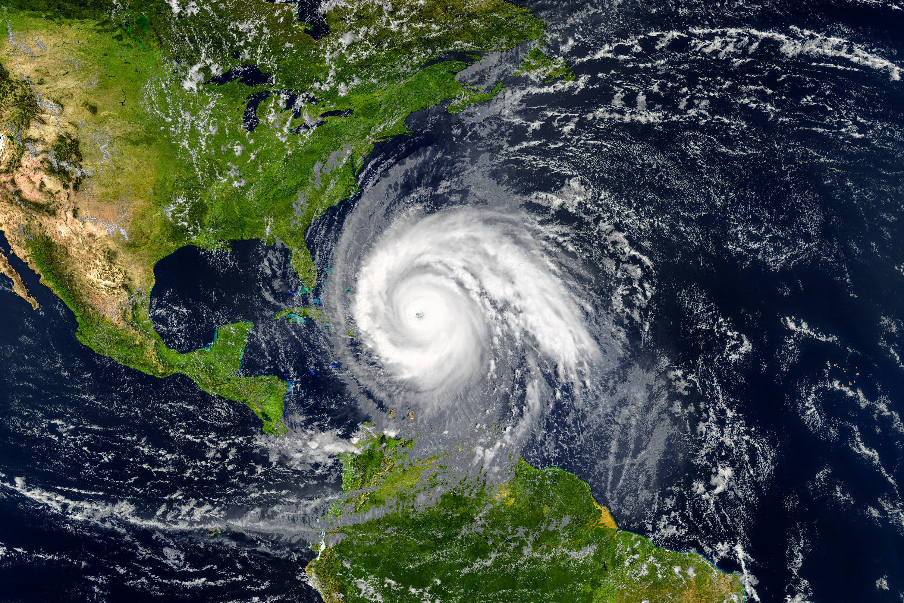
International governments face challenges from population growth and urbanisation, to climate change and pandemics. Geospatial information is a crucial tool to help nations navigate these challenges effectively.

Key challenges and how we can solve them
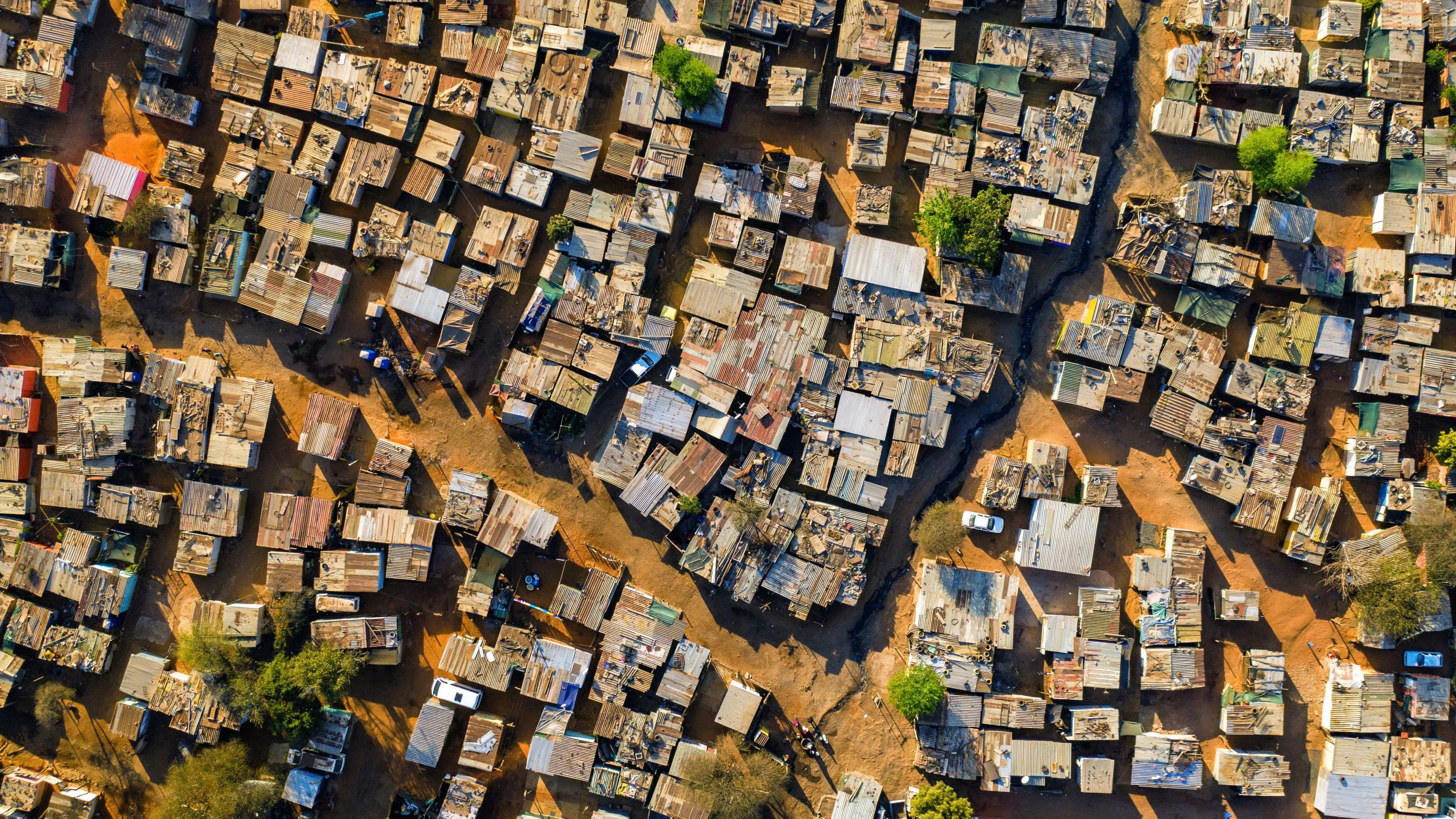
Urbanisation
Discover how geospatial data can help you overcome urban poverty and build fair, prosperous and sustainable cities.
Sustainability
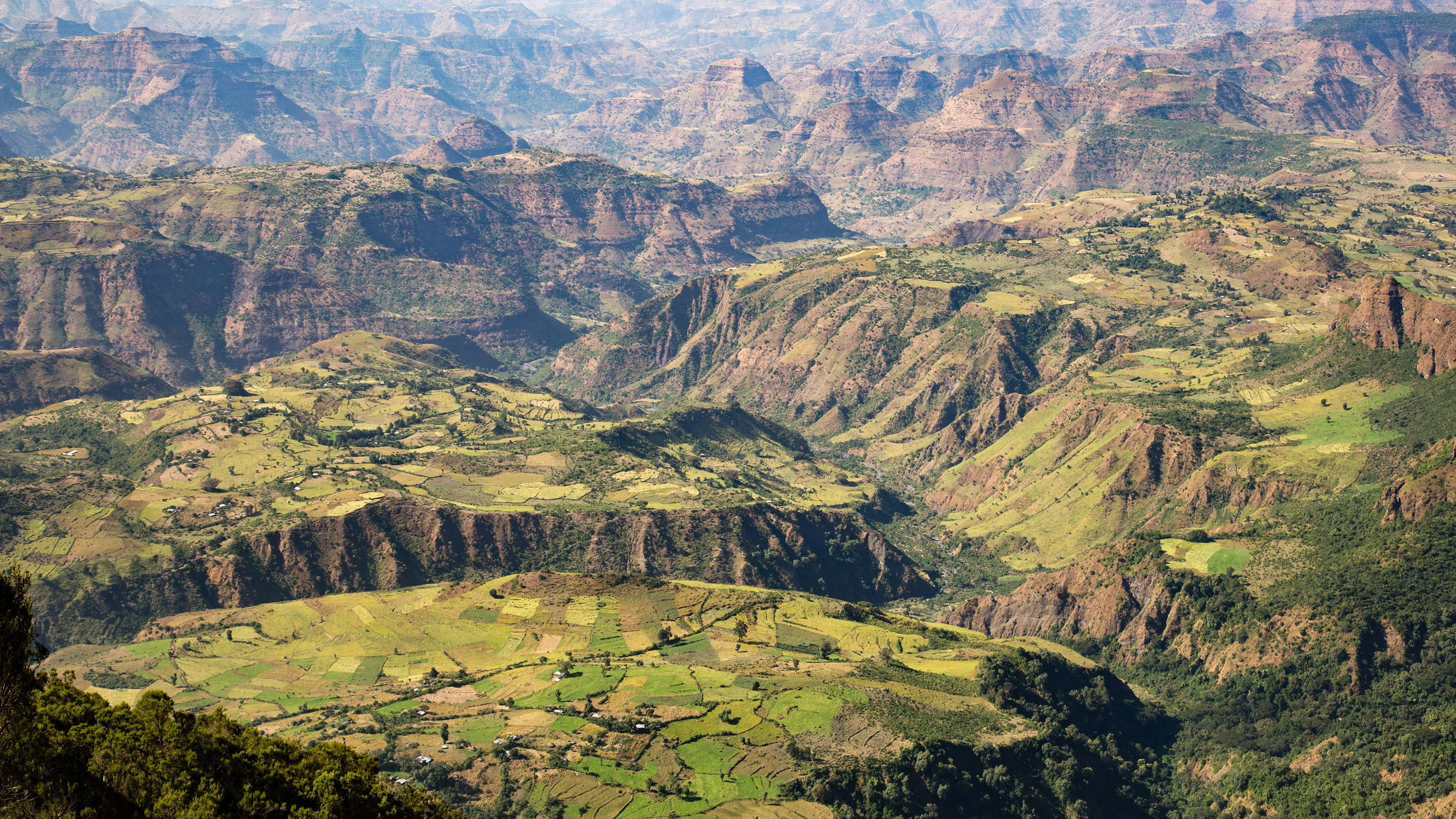
Climate change, environmental degradation, food security, and poverty are all key challenges we face. Geospatial data is vital in helping solve these challenges.
Land ownership
Find out how geospatial data can help you establish land rights to fuel socio-economic growth and achieve a more sustainable and equal nation.
Resilience
Geospatial data is the key ingredient in building more resilient nations. Understand how to equip your community against major threats and ensure quick and effective action during an emergency.


Smart cities
Geospatial data helps you build new smart cities from planning to execution, putting your people at the very centre. We will help you and your country to build a more prosperous, citizen-centred and productive future.
Explore case studies
Using AI to map African cities to improve infrastructure
Technology used to map Lusaka in Zambia can be replicated in other African cities to upgrade informal settlements.
The Road to the Happiest City on Earth
Dubai Municipality has a clear ambition to make Dubai the happiest city in the world in all aspects.
Mapping capability in the Philippines
OS and the National Mapping and Resource Information Authority are optimising GPS to enhance geospatial infrastructure in the Philippines.


More success stories
Explore the full range of case studies