Overview
Take your analysis to the next level
If you're developing geospatial data visualisations or dashboards, OS Maps API can help take your analysis to the next level.
Get started easily & for free
Simple to set up and access backdrop mapping, with resources from OS Data Hub, up to £1,000 free premium data usage per month and free development mode for testing.
Up-to-date detailed mapping
No need to update or download the latest version - OS Maps API always provides the most up-to-date mapping in unrivalled detail, including OS MasterMap Topography Layer.
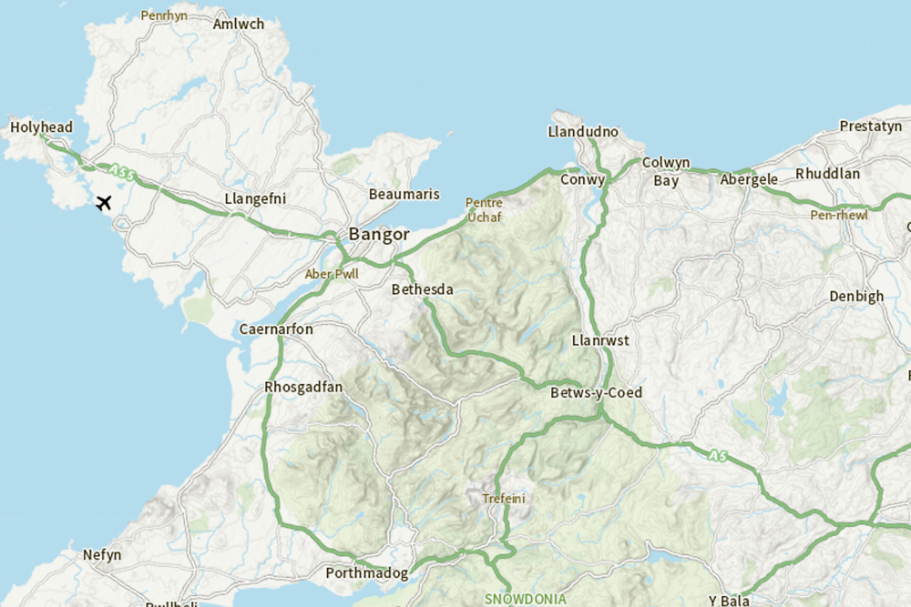
Beautiful cartography and styles
Choose from four beautifully styled map suites to fit your needs, from our iconic Leisure Maps to a more subtle Light style mapping.
Easy to use
OS Maps API is interoperable with most geospatial software; you can access the maps via OGC standard Web Map Tile Service (WMTS) or RESTful ZXY.
It can be used with all popular GIS software and web mapping libraries including Mapbox GL JS, Leaflet, OpenLayers and ArcGIS API for JavaScript. We have lots of online developer support to help you get started and find inspiration; from detailed documentation to copy and paste code examples.
How to get this product
Case studies

How location data saves both time and money for the National Library of Scotland
The raster tile service included in the OS Maps API provides the most up-to-date map tiles.
It can be integrated into web maps by a developer familiar with JavaScript and a few lines of code – often with no change to existing technical architecture.

Faster access to healthcare assets for NHS London Healthy Urban Development Unit
How location data helps the NHS London Healthy Urban Development Unit (NHS HUDU) make sure everyone has access to the healthcare they need.
NHS HUDU is using OS data including the OS Maps API to help produce detailed static mapping evidence to support health location planning, in conjunction with UPRN matching.
Technical specification
| Key Features | What this product offers |
|---|---|
| Format | WMTS and ZXY |
| Data structure | Raster (256x256px @ 96dpi PNG tiles) |
| Scale | From National to building-level |
| Update Frequency | OS MasterMap Topography Layer - six-weekly, 1: 25 000 Scale Colour Raster - quarterly, 1: 50 000 Scale Colour Raster - quarterly, OS Open Zoomstack - six-monthly, MiniScale - annually, 1: 250 000 Scale Colour Raster - annually |
| Projection | British National Grid (EPSG: 27700) and Web Mercator (EPSG: 3857) |
| Availability | 99.9% uptime |
| Supply | Access via the OS Data Hub |
| Coverage | Great Britain |