Structured and comprehensive
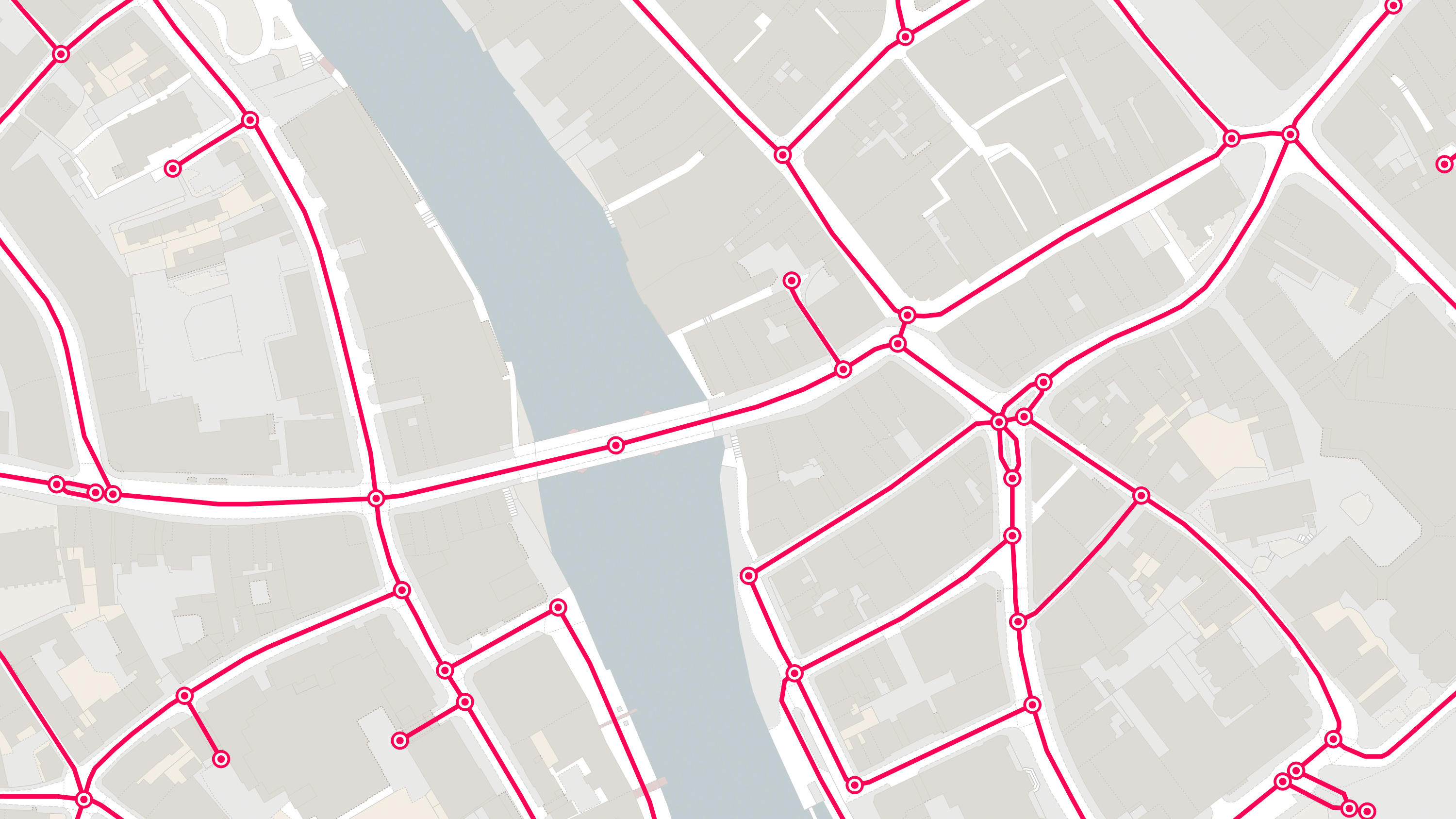
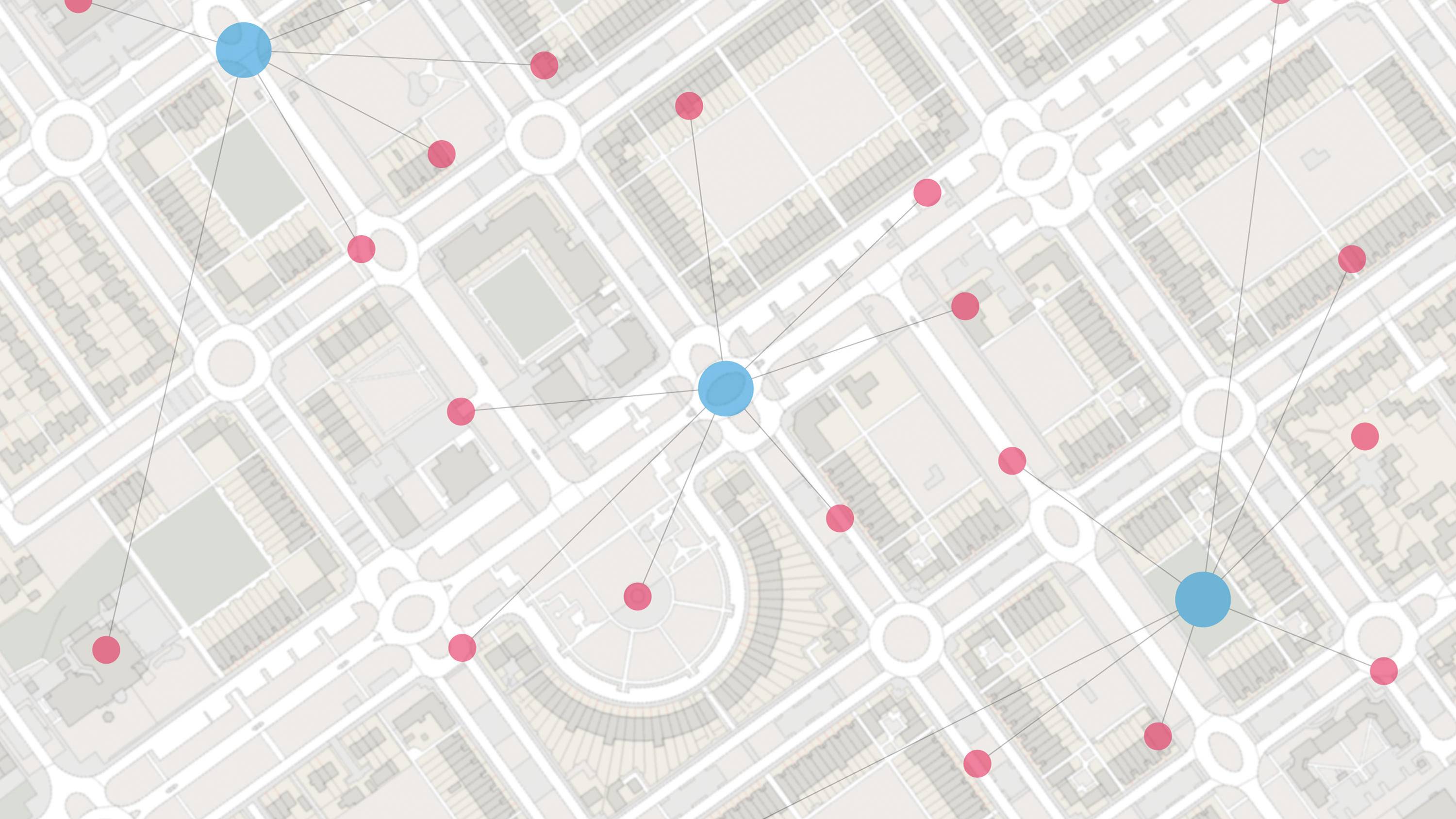
A structured link-and-node network, which represents the central alignment of all classified and unclassified roads in Great Britain.
A structured link-and-node network, which represents the central alignment of all classified and unclassified roads in Great Britain.
How many miles of roads are there in the country? What and where’s within 10 miles of this location? OS Open Roads lets you answer questions like these.
By underpinning your reporting tool with OS Open Roads, you’ll give highways teams a head-start on fixing issues like potholes.
A navigable road network dataset with detailed information about planned roads and roads under construction for Great Britain.
An open dataset of cross-referenced identifiers between various OS data products.
A visual representation of Great Britain's transport networks including road, ferry, rail, and path networks, and the connectivity between them all.