OS Open USRN
What OS Open USRN provides you with
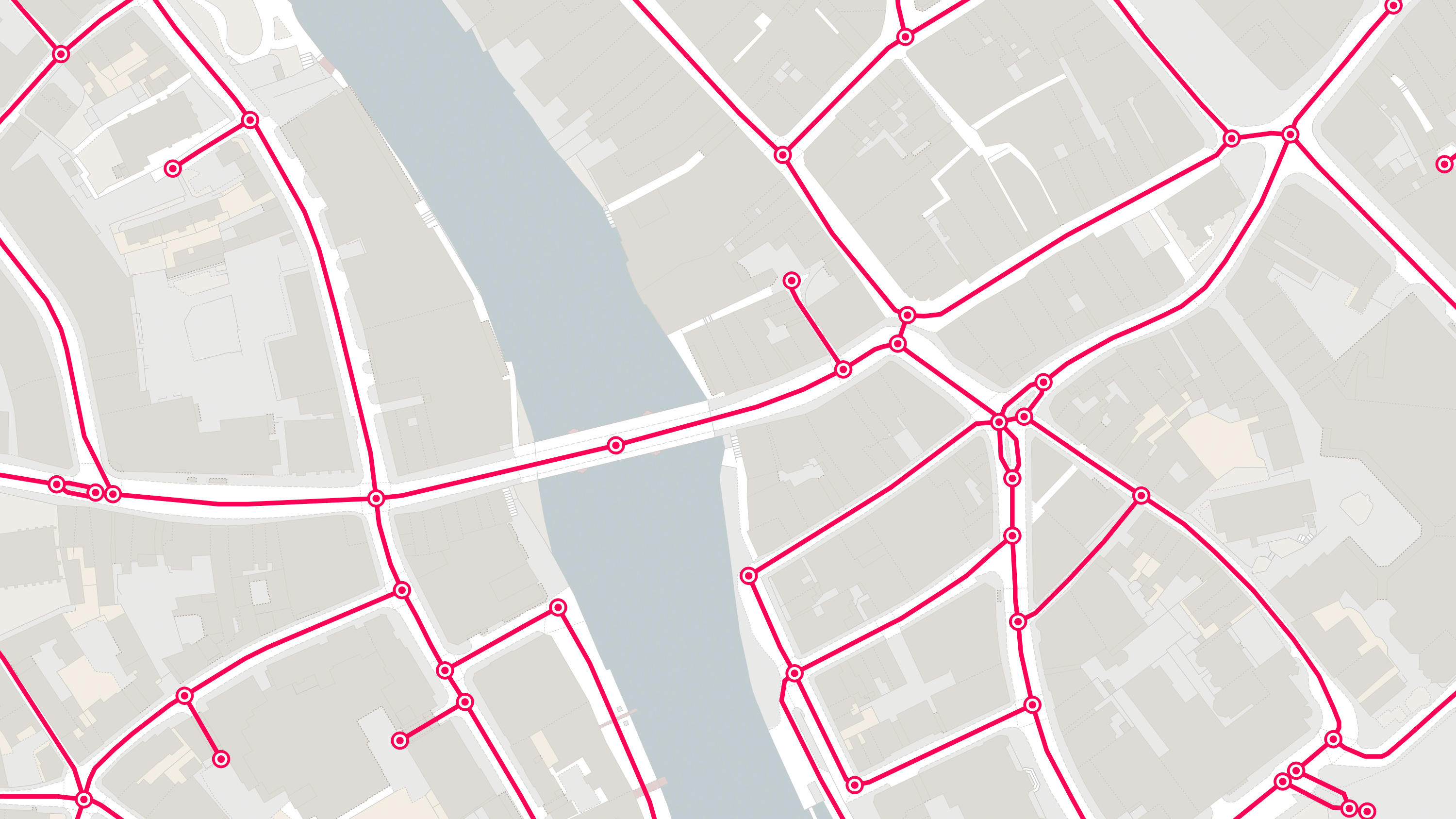
Essential identifiers for streets
USRNs are the authoritative identifier assigned to and uniquely identifying streets and are essential for managing Great Britain's Highways.
Authoritative source
USRNs are allocated by Highway or Road Authorities and Highway Bodies, under their statutory responsibility to maintain this information. This means you can have confidence you’re accessing an authoritative source of these identifiers.
Complete USRN data
All USRNs present in OS MasterMap Highways Network, are also included in this product – so you can be sure you’re not missing out.
Share and link data
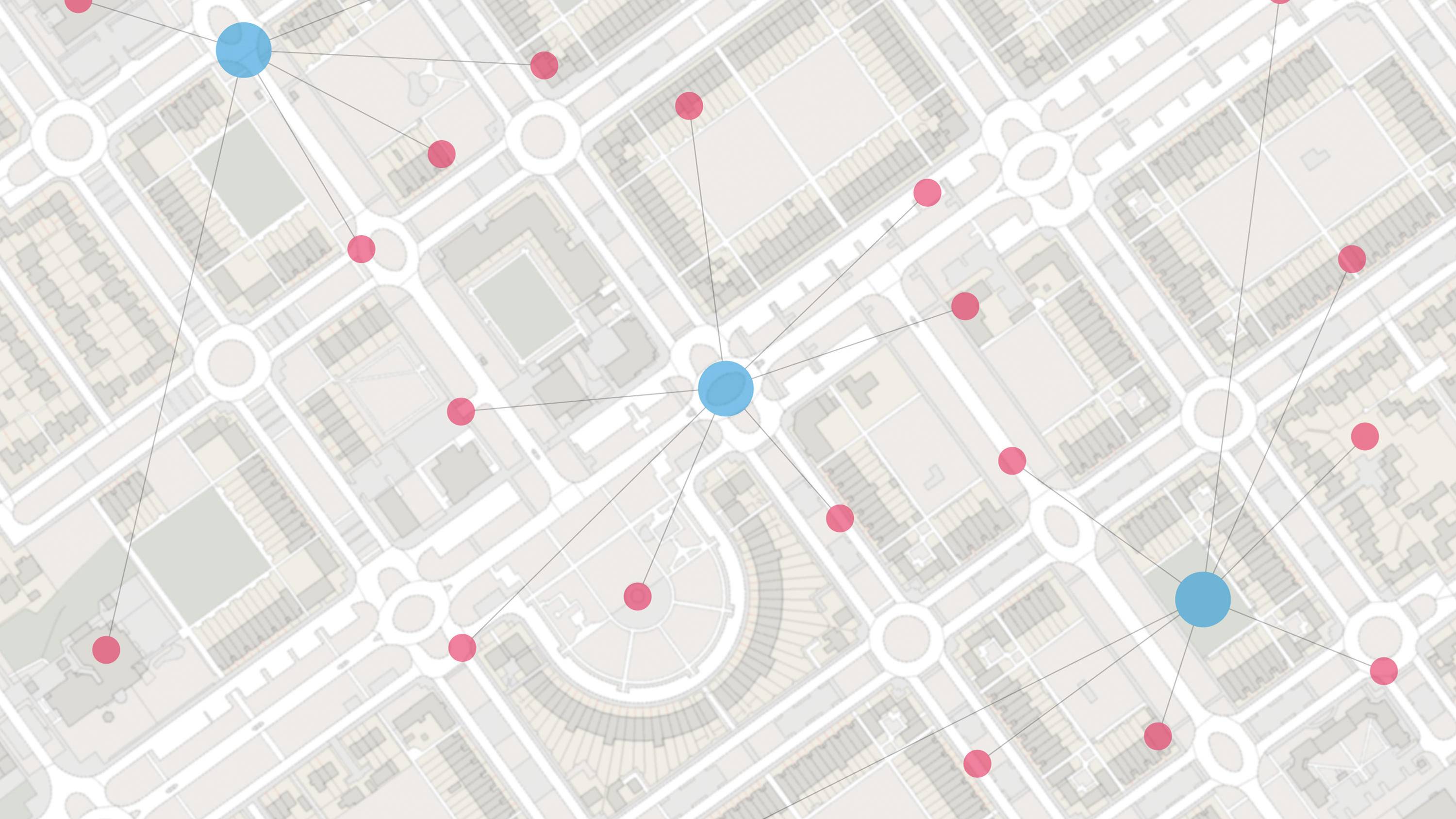
OS Open USRN will enable you to start sharing and linking together information about USRNs which you can visualise with a location.
Use cases
- Share information held against a USRN with a location
- Link together information associated with USRNs
- Interpret the land cover adjacent to transport features.
Related products
OS MasterMap Highways Network - Roads
A navigable road network dataset with detailed information about planned roads and roads under construction for Great Britain.
OS Open Linked Identifiers
An open dataset of cross-referenced identifiers between various OS data products.
OS Transport Network
A visual representation of Great Britain's transport networks including road, ferry, rail, and path networks, and the connectivity between them all.