OS MasterMap Imagery Layer
What OS MasterMap Imagery Layer provides you with
Reduce the need for site visits
Using our aerial imagery to check road markings, tree canopies or site entrances cuts down the need for site visits, so you can save money and manage time more efficiently.
For engineers, surveyors and planners
Imagery Layer is aligned to OS MasterMap Topography Layer and is incredibly detailed, expertly colour-balanced and corrected for geometric distortions.
Ideal for projects
OS MasterMap Imagery Layer covers the whole of Great Britain. You can get it under perpetual use terms – ideal for projects – as well as fixed-term licences.
Up-to-date imagery and data
OS MasterMap Imagery Layer uses the same source imagery that underpins our large-scale data updates. Our processing software produces true-orthorectified imagery, removing building lean from aerial imagery to give you a consistent top-down view.
Use cases
- The high-resolution aerial photography offers a true top-down view, ideal for identifying geographical features.
- Offers a visual basemap in applications, providing real-world context for location-based services and surveying applications.
- Compatible with multiple data formats and include georeferencing files.
Related products
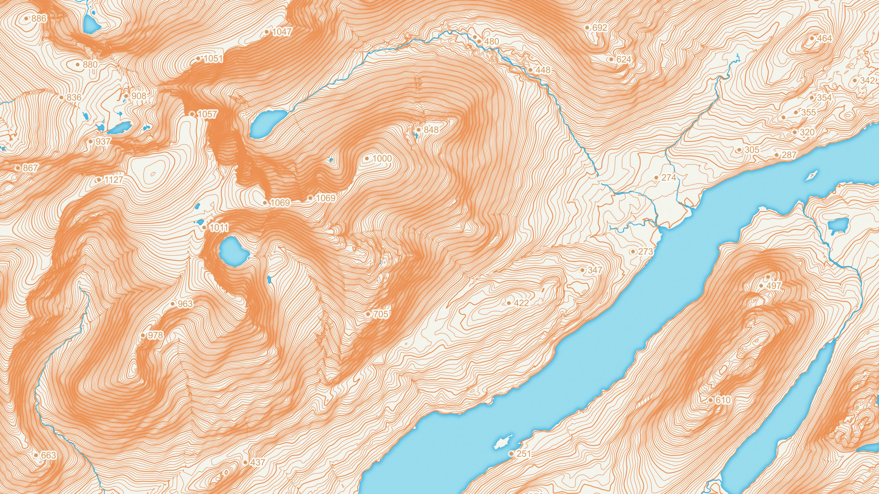
OS Terrain 5
OS Terrain 5 is a detailed digital terrain model (DTM) of Great Britain.
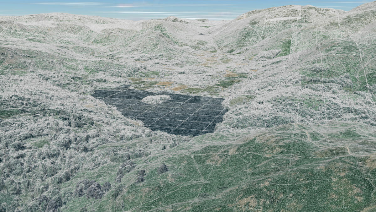
OS 3D Mesh (Beta)
OS 3D Mesh is a product providing a photorealistic 3D representation of the surface of the Earth and features above it, such as buildings, roads, and vegetation.
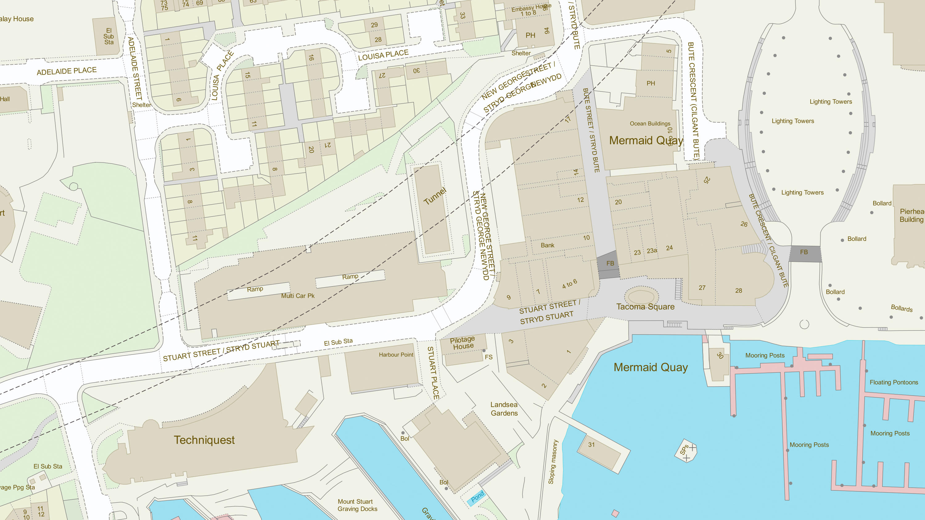
OS MasterMap Topography Layer
OS MasterMap Topography layer provides a map dataset of Great Britain's landscape – from roads to fields, to buildings and trees, fences, paths and more.