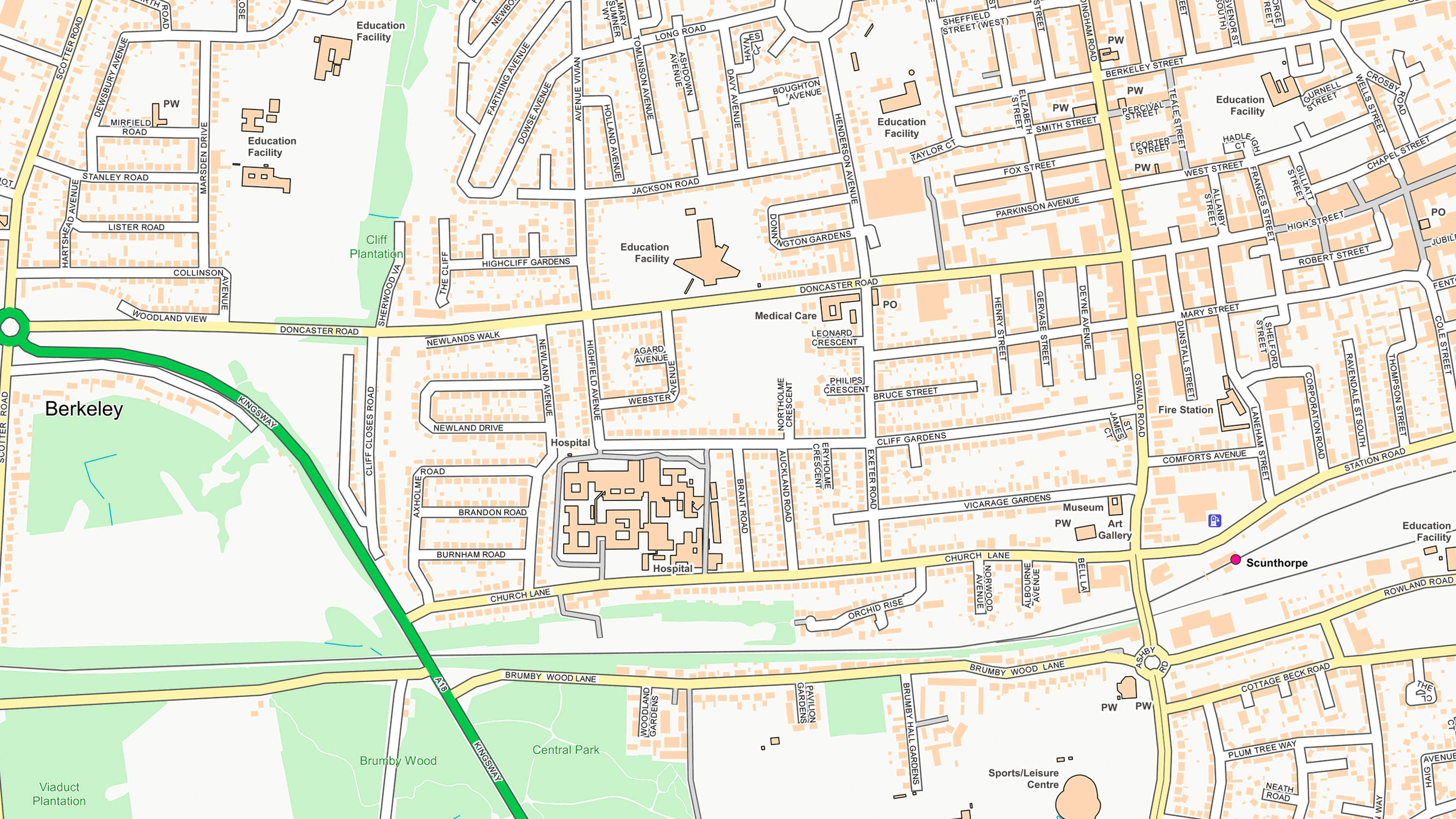
Accurate locations of streets and postcodes
Let your customer-facing staff find places quickly when talking to callers. OS Open Names provides the accurate locations of streets and postcodes in Great Britain.
Let your customer-facing staff find places quickly when talking to callers. OS Open Names provides the accurate locations of streets and postcodes in Great Britain.
Quickly look up places and roads with two names. OS Open Names contains place name data in English and their Welsh, Scots or Gaelic alternatives.
Our list of named features and places, as identifiers for locations in the real world: cities, towns, beaches, reservoirs, and more.
OS OpenMap Local is an open dataset of detailed, street-level mapping of Great Britain.