Browse documentation and tutorials to help you get started with OS data.
OS data product support
Access useful product and technical support to use OS data products successfully
OS Data Hub support
OS Data Hub documentation
Get a product overview, view guides to get started, and read the technical specifications.
OS Data Hub support
Detailed step-by-step guidance will help you use OS data for your project. FAQs and our Support Team are also available to answer enquires.
API tutorials
Find out how to develop solutions with our APIs. View common use cases or learn how to build in functionality for an interactive map on your website.
OS product refresh dates
Visit docs.os.uk to get update frequencies for OS digital mapping products, including AddressBase and OS MasterMap Topography Layer.
National Geographic Database (OS NGD) support
View technical support for OS NGD, consisting of OS Select+Build and OS NGD APIs.
OS NGD documentation
Find out how to get started with OS NGD, accessing via the download service and APIs, data structure and code lists.
OS NGD tutorials
These technical articles provide in-depth details of using OS NGD data via OS Select+Build and the OS NGD APIs.
Addresses and names product support
Find support and technical information for addresses and names data products.


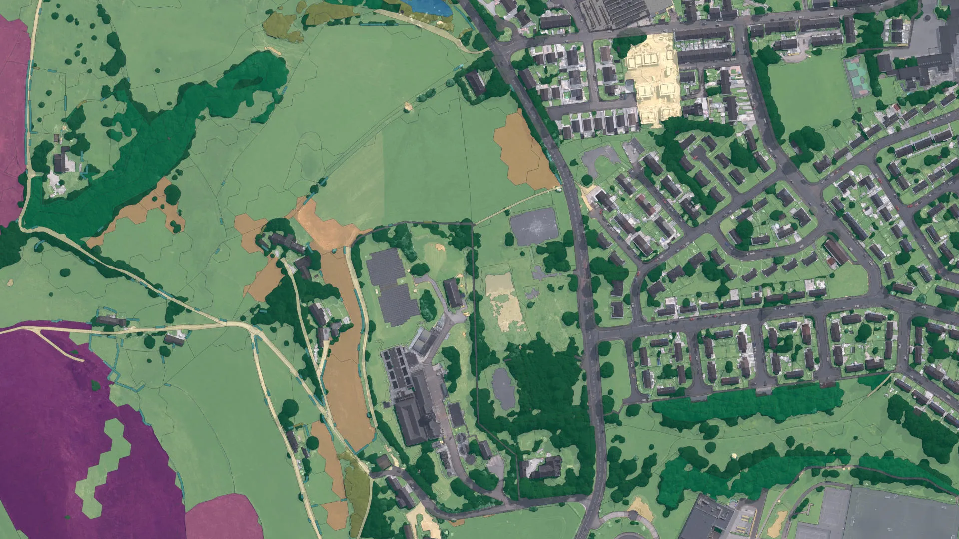
Maps and imagery product support
Find support and technical information for maps and imagery data products.


Transport networks product support
Find support and technical information for transport and networks data products.


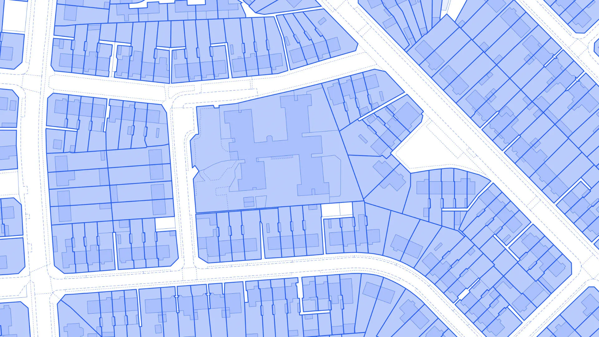
Buildings and infrastructure product support
Find support and technical information for buildings and infrastructure data products.


Land and terrain product support
Find support and technical information for land and terrain data products.


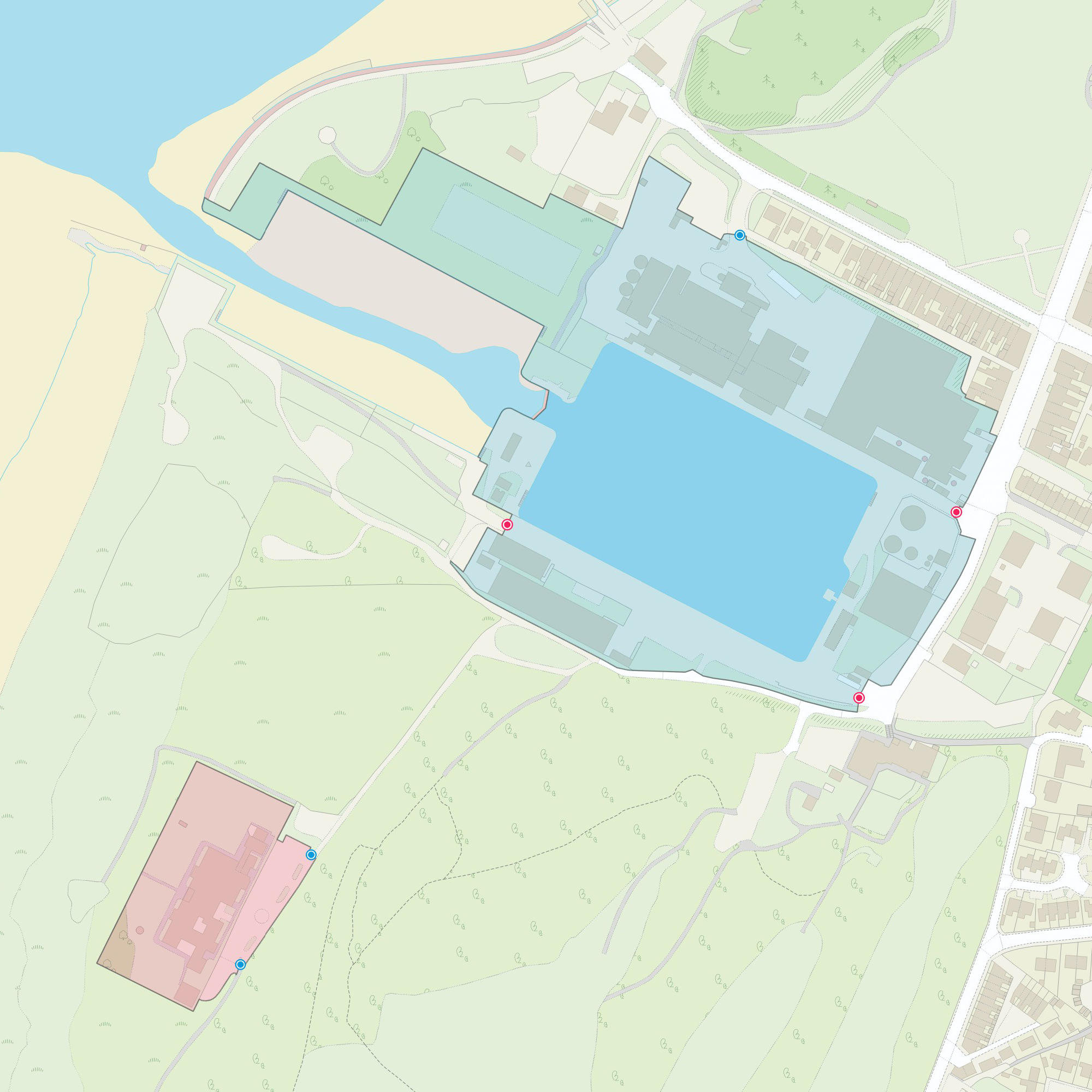


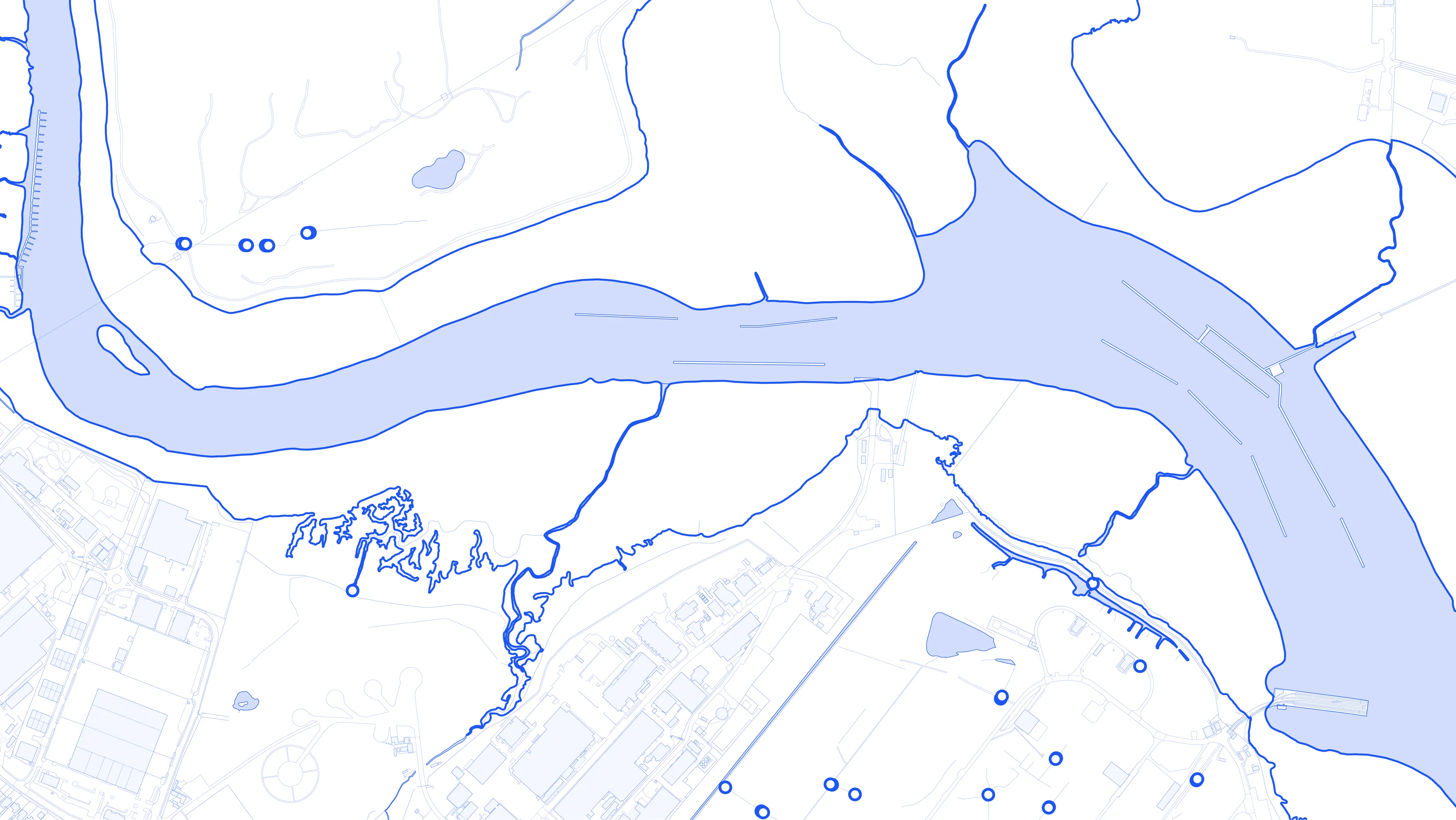
Water product support
Find support and technical information for water data products.


Areas and zones product support
Find support and technical information for areas and zones data products.


Support for retiring products
Find support and technical information for data products approaching End of Life. Further information and details about products we are planning to retire can be found on our product roadmap page.
OpenData questions and answers
Read answers to questions we are frequently asked about OS OpenData.
How do I use OS OpenData?
OS OpenData is licensed under the Open Government Licence, which allows you to use the OS OpenData datasets in any way and for any purpose. We simply ask that you acknowledge us with "Contains OS data © Crown Copyright [and database right] (year)".
Find out more about the Open Government Licence (OGL).
What do I need in order to start using OS OpenData?
As well as an internet browser and an email address, you'll need Geographic Information System software (GIS) - such as QGIS (this is free, open source software).
Find out more about getting the most from GIS on our GIS support pages.
How can I make the best use of OS OpenData?
OS OpenData has been designed to be as easy to use as possible.
- Access through OS's mapping APIs (Application Programming Interface) to create interactive web maps.
- Directly download from the OS Data Hub. Use this part of OS OpenData if you want to manipulate data in a geographical information system (GIS). You can download free GIS software from a range of sources online.
How do I work out which tiles I need?
When you order OS Open Map-Local or OS VectorMap District, you choose 100km areas. When you receive your data, it is broken down further into 10km tiles for OS VectorMap District and 5km tiles for OS Open Map-Local. This can make it difficult to work out which tiles of data contain your area of interest.
Download a PDF for each 100km square of data you want to order. The PDFs each show a grid on a map of the 100km area, so you can see exactly which data files in the download show your target area.
How often are the OS OpenData products updated?
This varies by product; many of them are updated twice a year. The month in which each product was last updated is shown on the OS OpenData downloads page.
How do I credit OS OpenData correctly?
You can use OS OpenData map datasets in any way and for any purpose. However you must acknowledge the copyright and the source of the data, as follows:
Contains OS data © Crown copyright and database right (year)
If you use Code-Point Open data, you must also display the following:
Contains Royal Mail data © Royal Mail copyright and Database right [year]
Contains National Statistics data © Crown copyright and database right [year]
OS OpenData is free to use under the Open Government Licence (OGL).
Do I need to provide an acknowledgement when I build a website or app?
Yes, you do. For full details, please see our style guide (PDF).
Toolkits, resources and codelists
Browse other resources to support your use of OS products.
XML file resources
GeoDataViz Toolkit
Can't find what you need?
If you can't find the data product support you're looking for, get in touch today