CASE STUDY

Using the OS Downloads API to save time and improve awareness of OS data

Using OS Downloads, Doncaster Council has the latest data to deliver enhanced local services while saving valuable time and costs.

Like many Local Authorities, Doncaster Council relies on a wealth of open and premium OS data to help deliver statutory and non-statutory services, including Strategic Asset Management, drainage, and Street Scene.

|1 MIN READ
  • OS Downloads API
  • OS MasterMap Topography Layer

Challenge

Doncaster Council holds local copies for OS datasets such as OS MasterMap Topographic Layer. However, keeping multiple datasets up-to-date can often be challenging. Demand for geospatial data and location services is increasing rapidly across the council, at a time when local authorities like Doncaster are facing growing constraints on resources and budgets.

Solution

With the OS Downloads API, Doncaster Council can automatically download open or premium data.

Doncaster Downloads API

Result

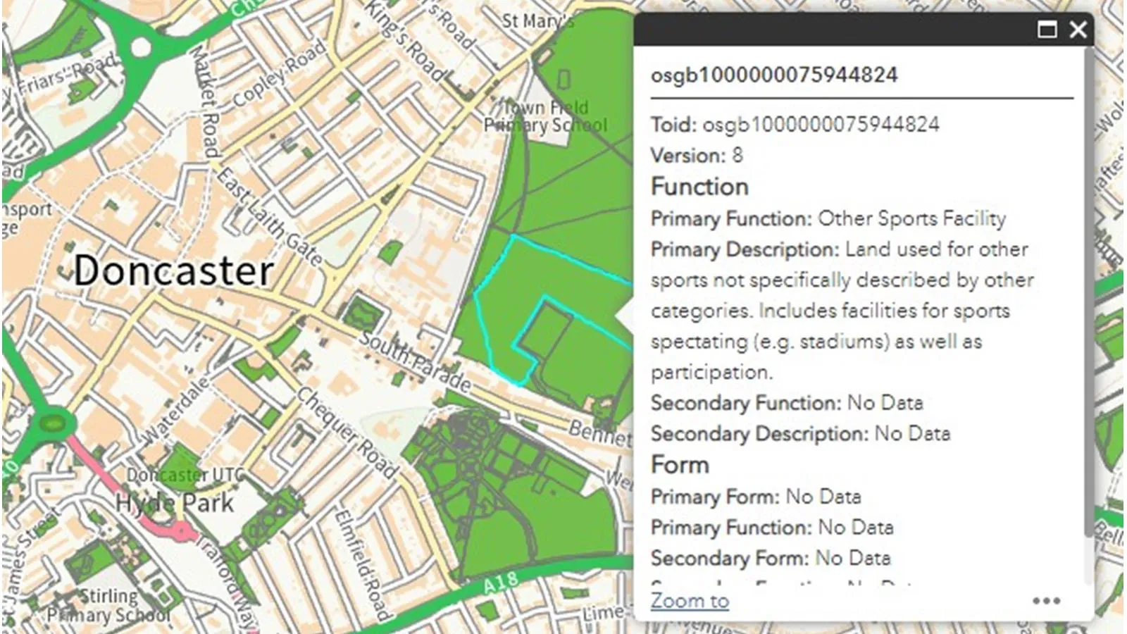
With automated downloads and more frequent updates, Doncaster Council always has the latest data available, and is expanding the range of OS data it shares with users – including MasterMap Greenspaces, MasterMap Topography and MasterMap Sites. This is helping teams across the council benefit from accurate, reliable data to deliver enhanced local services while saving valuable time and costs.

"The introduction of the OS Data Hub has brought with it some very welcome improvements, not least the APIs. At Doncaster, we use Safe Software’s FME Server to check for updates to packages, download them to a network drive and send email alerts when they are ready. This is just the first, but crucial step towards a nearly fully automated workflow."

David McDermott, Digital Data Engineer, Doncaster Council

Solutions for public sector organisations

Discover how your organisation can access world-leading location data and expertise

The Public Sector Geospatial Agreement (PSGA) supports the delivery of critical infrastructure and services, as well as working to help protect our environment.  

Learn more about the PSGA

Products and solutions featured in this study

  • OS Downloads API

    The OS Downloads API lets you script and automate your downloads of OS OpenData and OS Premium data. Save valuable time by automating the process.

  • OS MasterMap Topography Layer

    A map dataset of Great Britain's landscape – from roads to fields, to buildings and trees, fences, paths and more.