Discover Digimap for Schools

Online geography learning to help your students explore Great Britain

Let’s map Great Britain

Explore free geography learning resources for primary and secondary school students.

Digimap for Schools - Population density

What is Digimap for Schools?

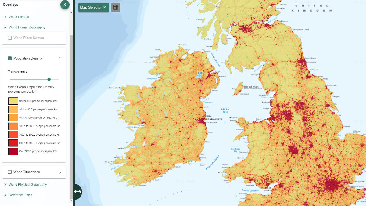
Digimap for Schools is an intuitive, easy-to-use online resource, providing access to OS mapping of Great Britain, at a variety of scales.

It shares essential learning for your school to support the national curriculum of social studies, numeracy, literacy, and outdoor activities, and can be used for all age groups. Over 4,800 primary and secondary schools use this platform across Great Britain and beyond.

Resources include beautiful historical mapping from the 1890s and 1950s provided by National Library of Scotland, as well as cloud-free aerial photography provided by Getmapping.

Knowledge


Develop place and location knowledge for Great Britain and the world

Tools


Discover tools designed for schools to enhance geography and introduce GIS

On demand


Easy to use; cloud-based access with a single whole school login

How to subscribe

A subscription enables every pupil and teacher in your school to access the service, with no limit to the number of users. 

Login to Digimap for Schools

If you already have an existing username and password for your school, log in today for unlimited use.

Explore Digimap for Schools

Further GIS resources

Browse key Geographic Information Systems (GIS) tools for schools. We list helpful references for teachers and pupils, from Digimap to ArcGIS.

Can’t find what you need?

Contact us directly to speak to our friendly customer service team.