In November 2019, OS ran an event for years 8’s, from three local secondary schools. We shared how GIS is used, how data is collected and presented, and how GIS can help make informed decisions. Below are four exercises we used on the day; we’ve made these available for you to use and run a successful GIS event at your school.
GIS Day resources
A helping hand for holding a Geographic Information Systems (GIS) event at your school
Exercises for your GIS Day
GIS Day is celebrated each year in November. Events take place all over the world, showing the use of geographical information.
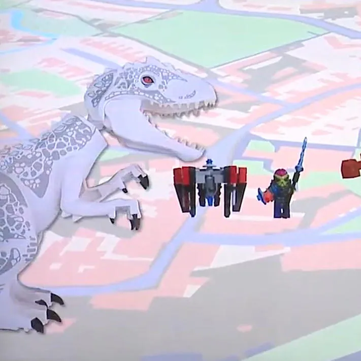
Dinosaur Apocalypse
This shows how GIS would be used in an emergency, in this case an alien invader reanimating dinosaurs!
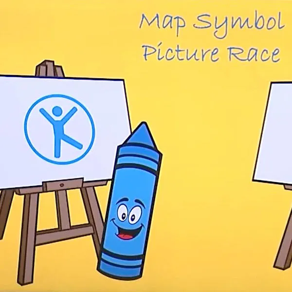
Cartography
A drawing game that shows the importance of symbols on a map. Ideal for two groups.
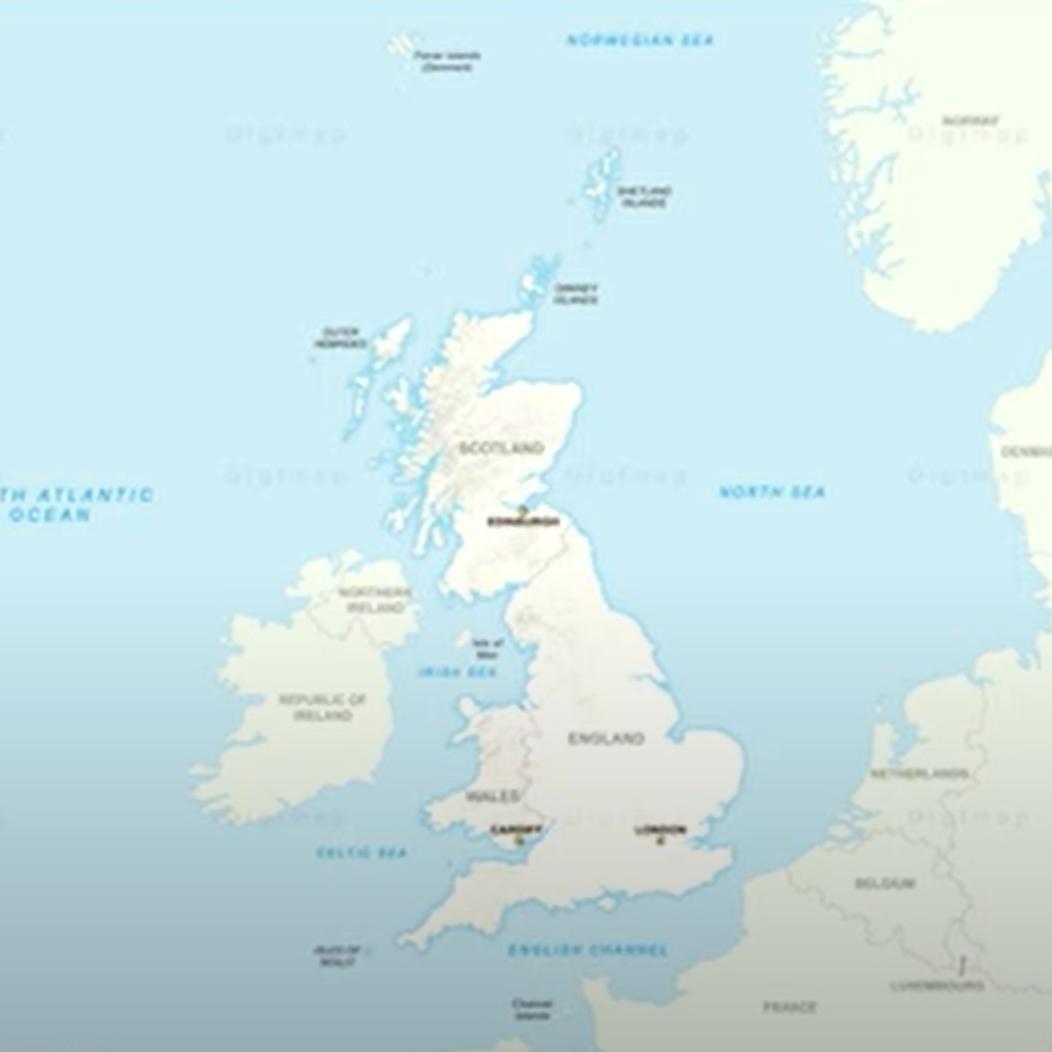
Digimap for Schools
An exercise to collect, view, and display geographical data, using Digimap for Schools tools.
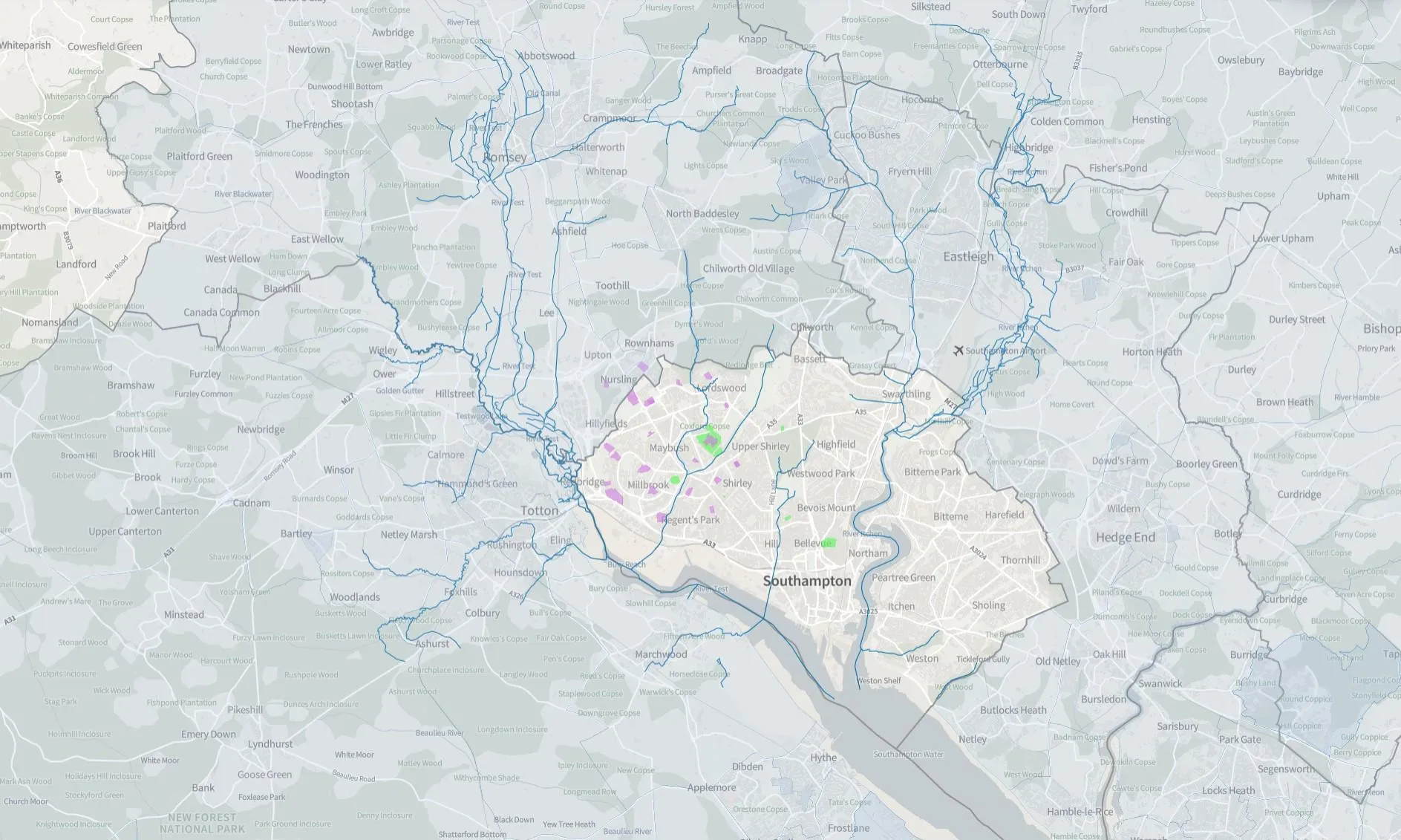
GIS for housing
A web demo that uses GIS to choose the best location for housing.
Further GIS resources
Browse key Geographic Information Systems (GIS) tools for schools. We list helpful references for teachers and pupils, from Digimap to ArcGIS.
Can’t find what you need?
Contact us directly to speak to our friendly customer service team.