New data: Richer buildings enhancements will support net zero agenda
Press Office
These new data enhancements – which will help a range of organisations tackling net zero policies - have been delivered under the Public Sector Geospatial Agreement (PSGA).
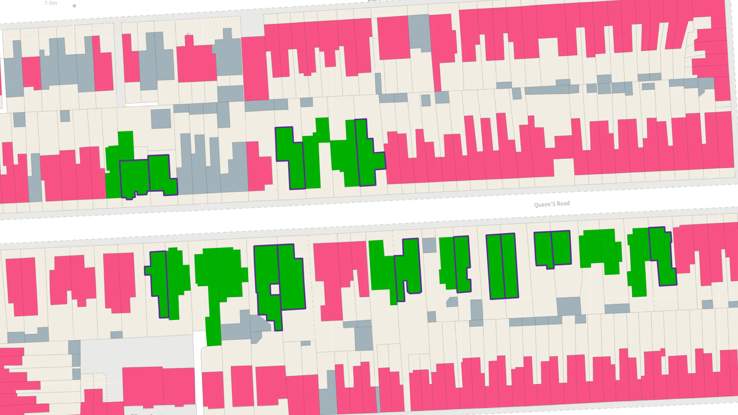
The OS NGD Buildings data has been enhanced to include the following information:
- Building age - information on when a building was built;
- Building construction material - information on the primary material from which the building is constructed;
- Basement presence - information on whether a building has a basement and identified if the basement is a self-contained address; and
- Building description - a simple description to describe what the building is (for example, Detached House, Domestic Outbuilding, Education building).
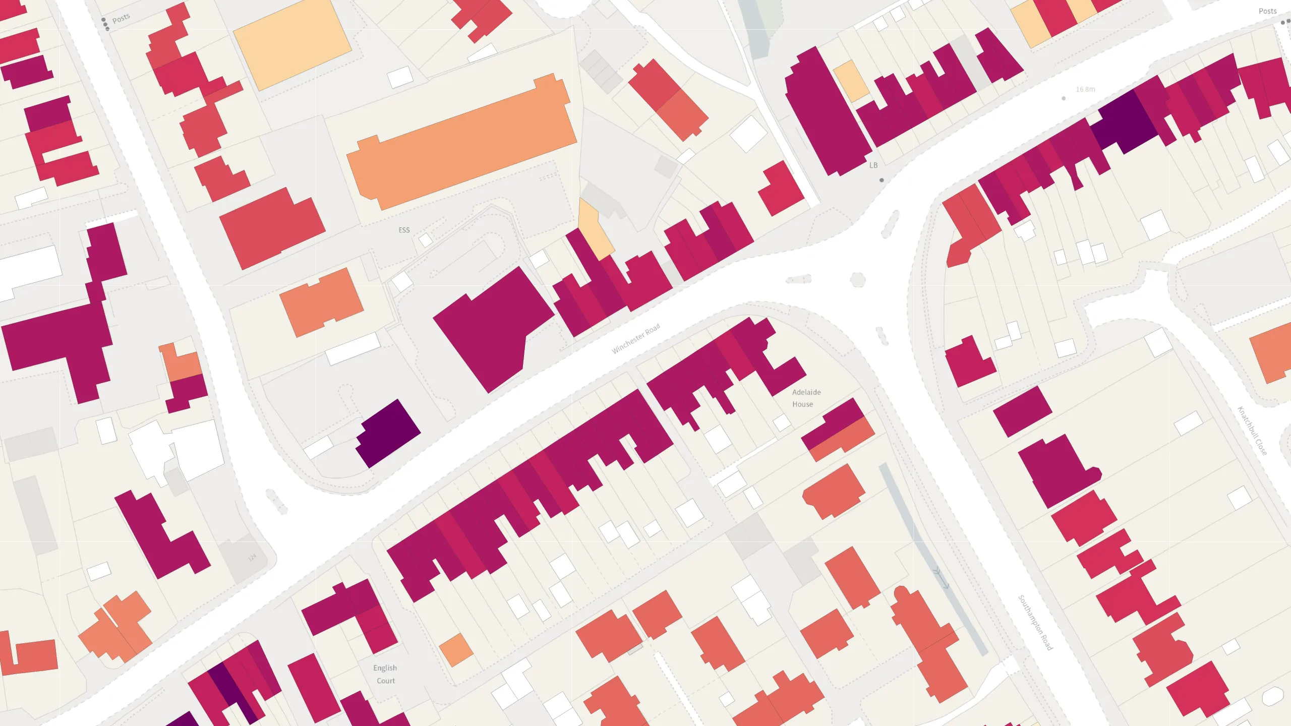
The dataset is the first time this information has all been available in one place, and adds to the enhancements to OS NGD Buildings made last September, which included providing the building use and the number of addresses within the building.
For this release, OS has partnered with data analytics experts Verisk, which has created and supplied data for building age, construction material, and basement presence – while building descriptions come from OS data. Surveyors from OS will capture age, construction material, and basement presence for new buildings.
Net zero
The new enhancements are expected to be vital for helping the public sector tackle net zero policy and green energy initiatives around buildings. They will help users develop a better understanding about the energy performance of those buildings, for example insight into reducing carbon emissions from homes, or identifying hard-to-heat homes. This will enable users to develop policies and plans around meeting net zero targets, and also influence future house designs.
"This new product is providing data that we have never provided before. Free at the point of use for the public sector, consistently modelled and applied across Great Britain, to give users a comprehensive picture of the built environment in the country. It will be useful for any public sector professional involved in property or asset management related to buildings – such as local authorities or central government – particularly if their work is linked to the net zero agenda. Decarbonisation and net-zero targets cover so many organisations, whether that’s local authorities, central government, DLUHC, Homes England, Housing Associations, or anybody who has a major responsibility for housebuilding or for commercial buildings. There’s going to be a huge focus on modelling the energy performances of buildings to improve the design, reuse of materials, retrofitting, and green energy solutions in future years."
Benefits to emergency services and financial services
The dataset will benefit emergency services, as it will give Fire Services improved situational awareness and insight around fire risk management.
The more information Fire Services can access for buildings, the better they can plan and prepare before or during an incident.
Having basement presence data and further data about a building will assist with rescue planning, and greater understanding of risks to building structures and the surrounding population.
For financial services outside the public sector, the data will be valuable for insurers when underwriting and carrying out peril risk models. It will also be useful for climate stress testing and Environmental and Social Governance reporting of buildings. The enriched data will also help insurers detect fraud and improve their customer onboarding and retention.
The dataset can be used with existing data from the OS National Geographic Database (NGD) to develop a deeper understanding of both the built and natural environment in a user-friendly manner.
OS provides its data and services to the emergency services and wider public sector organisations through the PSGA. The PSGA is a contract between the government and OS for the provision of geospatial data across multiple themes, including buildings, transport, structures, addressing and land. The contract delivers key data to public sector members for use in everyday settings to support provision of critical services to the public.
Users can access the OS NGD data via the OS Data Hub.
Sharing the latest news about OS. We can license you to use OS maps in print, online and film format. For more information and resources for journalists, bloggers and media professionals, email pressoffice@os.uk or call 023 8005 5565.
Explore the OS Data Hub
With over 20,000 updates to our databases every day, you have access to a comprehensive and up-to-date set of authoritative data through the OS Data Hub