Top 10 best bridleways added to OS Maps
Press Office
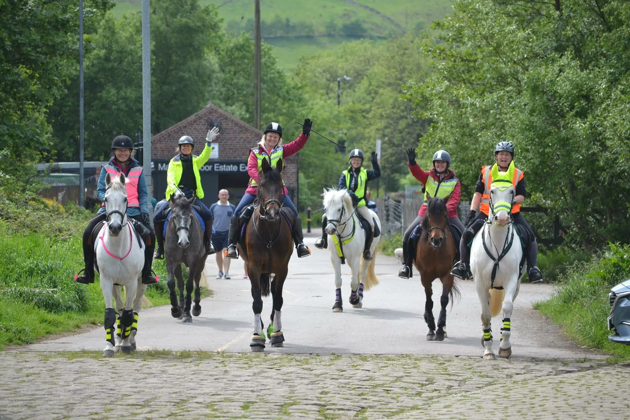
The 10 best bridleways in the country for 2024 have been announced for equestrians.
Compiled by equine charity, The British Horse Society (BHS) and Ordnance Survey, this list celebrates the nation’s off-road access network and the benefits getting outdoors holds for us all.
These 10 shortlisted bridleways come from over 600 high quality, BHS-authorized horse-riding routes chosen from across England, Wales, Scotland and Northern Ireland that have now been added to OS Maps app.
Top 10 Bridleways in United Kingdom
- South Downs Way – National Trail (South)
- Pennine Bridleway – National Trail (East Midlands, Yorkshire and Cumbria)
- Leith Hill Greenway – Surrey (South East)
- The Great Dragon Ride – Wales
- Epynt Way – Wales
- The Long Mynd – West Midlands
- Grey Abbey – Northern Ireland
- Monsal Trail – Derbyshire
- Cross Borders Drove Road – Scotland
- Kings Forest – Norfolk
These routes make up an estimated 120,000 miles of public rights of way officially recorded across England and Wales. This figure is according to the Definitive Map – the legal record of rights of ways held by local authorities.
However, only about 27,000 miles of these are available to equestrians. This equates to about 20% of the overall network.
With the support of the BHS’s Access Officers and Volunteers, the society work tirelessly to protect, as well as restore, bridleways and byways. This includes being involved in changes to rights of way, development consultations, submitting applications for historical routes, and much more.
The equine charity has also partnered with OS Maps to add over 600 horse-riding routes on the OS Maps route planner. This has been a great step forward in improving the equestrian community’s access to riding routes.
Mark Weston, Director of Access at The British Horse Society said: “We are delighted to be working with OS Maps to celebrate the incredible off-road routes that are so important to all equestrians.
“It is very important that we continue to preserve and protect all our routes so that equestrians can continue to have access to the public rights of way network in the UK. Getting out in the great outdoors and spending time with horses has proved to significantly enhance people’s mood, as well as reduce stress, and we want people to feel safe while doing this.
“We will continue to work with our brilliant network of Access Volunteers to improve our off-road network, and with OS Maps to be able to provide equestrians with a platform in which they can discover these routes in their area.”
Ordnance Survey’s Managing Director for Leisure, Nick Giles, said: “What a fantastic resource this is for equestrians to have over 600 horse-riding routes uploaded into the OS Maps database.
“Not only will it give riders greater confidence that the off-road routes and access routes they are following are safe and in good condition, it will also encourage them to explore Britain’s wonderful bridleways and enjoy those experiences even more.
“It’s been great to have worked so closely with the British Horse Society to make this happen.”
To make sure more routes are available for generations to come, the BHS is asking equestrians to join hundreds of other riders and horses to ride for their right to enjoy the countryside.
Through the equine charity’s Rideathon Fundraising Challenge, horse lovers are being encouraged to saddle up this July and raise vital funds that’ll go towards restoring damaged and overgrown paths.
To learn more about the Rideathon challenge and how you can sign up, visit: bhs.org.uk/rideathon
To find out more about the full list of the top ten bridleways in the UK, as compiled by the BHS and OS Maps, visit GetOutside.co.uk.
Sharing the latest news about OS. We can license you to use OS maps in print, online and film format. For more information and resources for journalists, bloggers and media professionals, email pressoffice@os.uk or call 023 8005 5565.
Explore OS Maps
You can share your walking, cycling or running routes in Great Britain by downloading the OS Maps App on your phone, PC or laptop