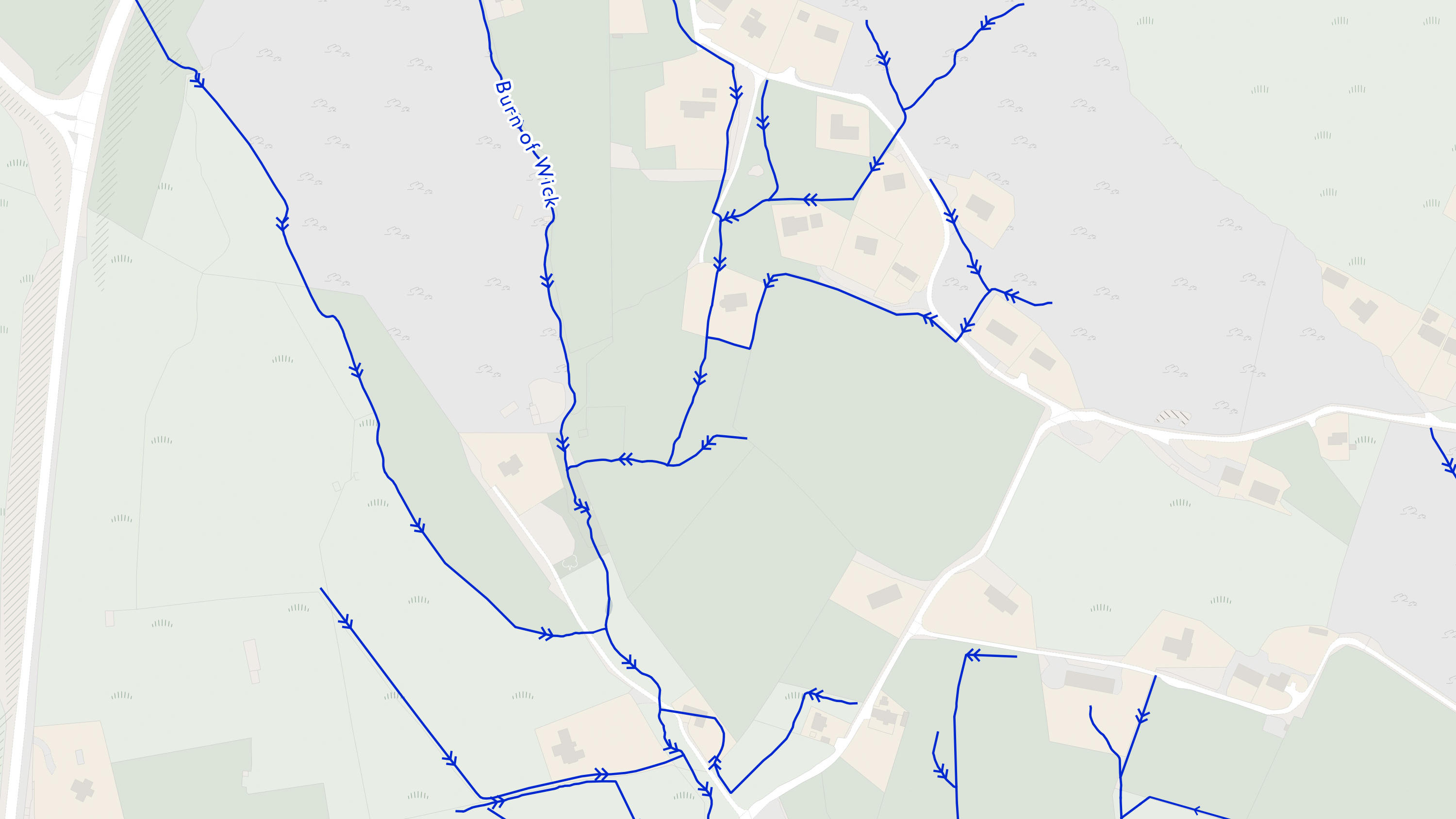
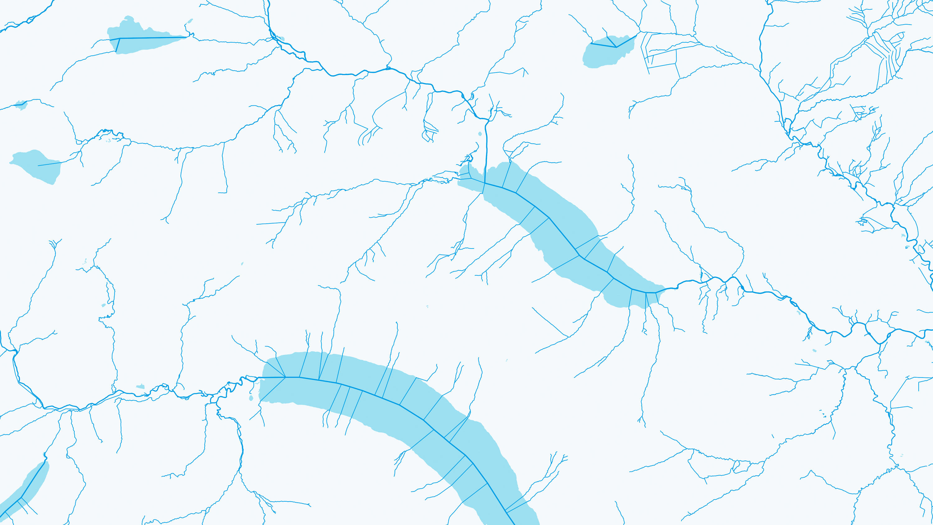
OS MasterMap Networks - Water Layer
OS MasterMap Networks - Water Layer provides a detailed centre line following the curve of the waterway precisely. It includes the coordinates of watercourse sources and where they meet, exactly. OS MasterMap Networks – Water Layer will become End of Life on 31 March 2026. As of this date, Ordnance Survey will cease to maintain or publish updates, and access to the product will be removed from the OS Data Hub, OS Features API and OS Vector Tile API. Further information and details about the recommended product migration pathway are available on the OS docs platform, which can be found under 'Additional information' on the technical information tab.
This product is updated quarterly