You may have seen an OS Field Surveyor out recording changes, and they may at some point need to visit to survey your property, and update our systems.
Ordnance Survey is responsible for mapping the urban and rural landscapes of Great Britain, acting as the National Geospatial Authority. We use drones, aircraft, and a team of Field Surveyors, to map the country in detail, down to 1cm accuracy.
To capture new map details with centimetre accuracy, our surveyors use OS Net and Global Navigation Satellite System (GNSS) equipment and technology. In total, we make roughly 20,000 changes to our mapping database every single day.
What do OS Field Surveyors do?
There is an old romantic view that surveyors climb mountains, or wade through lochs – which does happen. But OS Field Surveyors are often working on new-build estates and construction sites, where they can survey and add up to 10 – 15 new properties at a time. Every single property in Great Britain is surveyed, individually, and added to our database. Often, we use drones over a new development to capture several builds at once, then a Field Surveyor goes in to collect additional information.
Any changes to the landscape need to be surveyed too. A building being demolished, a road being altered, a new electricity substation – it all needs to be kept up to date.
We also receive regular change requests from HM Land Registry in England and Wales, and Registers of Scotland, in Scotland. A lot of our surveyors’ responsibilities involve making these changes.
When an OS Field Surveyor visits
All OS Field Surveyors carry identification. It will have our logo on it, and certify that they are employed by OS, responsible for the mapping of Great Britain. They will also have GNSS equipment, including a rugged tablet, a high precision GNSS receiver on a telescopic pole, and potentially a total station (modern theodolites). They’re likely to have a high-visibility jacket on, and some OS-branded clothing.
If we are acting directly on behalf of HMLR, or Registers of Scotland, our surveyors will have tried to ring you, or email you to arrange to arrange the best time to visit. However, for most surveys, Field Surveyors won’t have contact details or know who owns the property. They can arrive as part of their daily duties at any time, Monday to Friday. While they do operate flexible working hours, our surveyors only work on weekdays.
In both situations, if they’ve been unable to contact you, or have visited at a time you’re away or unavailable, they will leave a drop card with our details on it. Their IDs and drop cards will have a phone number which you can use to verify their role with Ordnance Survey.
What data are they collecting?
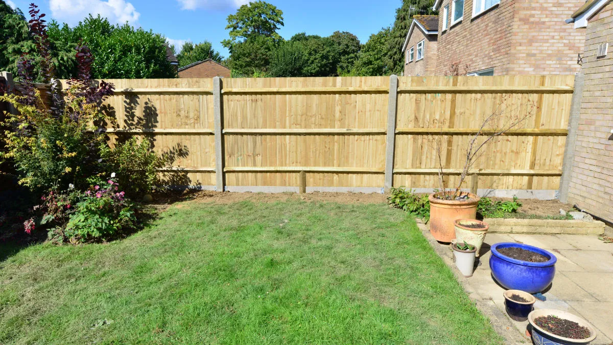
OS Field Surveyors need to walk around the exterior of your property, to conduct a survey and take measurements, to record the outline or ‘footprint’ of your property. This also includes surveying additional features, such as garages, and capturing the positions of fences, hedges, walls, and so on.
The GNSS receiver they carry communicates with an array of more than 40 satellites that locate where the receiver is on the planet. Surveyors then place the receiver on walls and fences, the side of a pavement, the edge of a forest, and record their locations.
Our surveyors do not typically require access inside your property, unless that is the only way into the garden. They do not collect personal information from the occupants. There may be instances where surveyors need to take photos for reference, but they ensure not to include people or car licence plates. Our surveyors’ results are regularly spot-checked as part of OS’s quality assurance.
They are gathering line and area coding, to depict property topographically – drawing lines to mark walls, and fencing, even curves when the lines aren’t straight. Surveyors also record the type of building and its construction type (for example brick, wood, plaster), the number of floors, and cellar presence.
And our surveyor’s efforts mean property addresses can be matched, or updated.
Why do they need this data?
In addition to confirming the geographical location of your property, our surveys ensure your address information is correct, which means emergency service responders, local authorities, and delivery services can know, accurately, where your property is located.
Whenever the landscape of Britain changes – such as a new building, or a big housing development, or even someone extending their garden – OS needs to survey and record the changes, to keep our data accurate.
This data is particularly useful for emergency services responders. Ensuring correct location is vital in an emergency; but the survey adds additional layers of detail. Knowing the building types and materials involved can be critical data in the event of a fire.
Responders need to know the number of floors in a property, access points, routing to get there; road widths which might hinder ambulances or fire engines getting through. Surveyors can even add locations of speed bumps in roads, as this may affect a journey in an ambulance.
OS’s location data underpins a wide range of critical services, and our Field Surveyors ensure that service providers have accurate, authoritative mapping to perform their functions effectively, and efficiently.
See your property
To see your property, and how it forms an important part of our digital map of Great Britain, you can visit OS Maps.
Please be aware that if you’ve had a visit from a surveyor recently, your property or amendment may not appear straight away, but will be included in a future update.