Overview
One of the world’s largest spatial databases
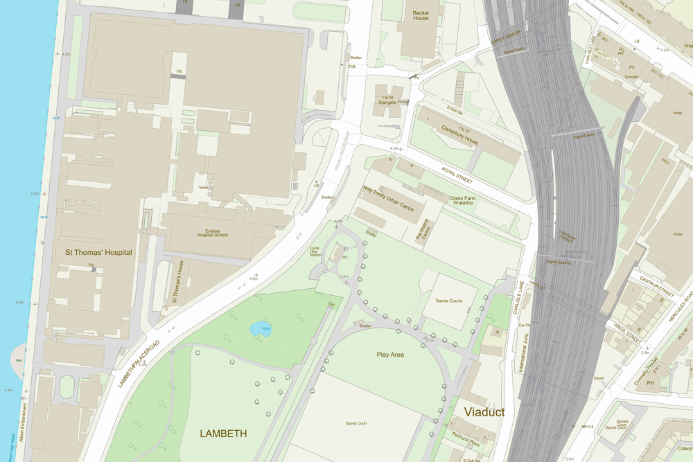
The OS MasterMap Topography layer is presented seamlessly with more than 500 Million real world objects – all uniquely identified - including roads, buildings, parks & waterways all managed and maintained by Ordnance Survey within one of the world’s largest spatial databases.
Mapping from the ground up
In a business of any kind, OS MasterMap Topography Layer gives you the confidence to make location-based decisions about assets, services, environmental risks, customers and operations.
Accurate referencing
Geo-tag your assets, with the topographic identifier (TOID) at the heart of OS MasterMap products. This makes it ideal for monitoring assets such as pipelines, pylons, bridges and warehouses.
Enhanced features
OS MasterMap Topography Layer includes enhanced features - Building Height Attribute to analyse the built environment and Sites Layer showing the main points of access to key sites.
The foundation of the OS MasterMap family
With OS MasterMap Topography Layer, each feature is a record in a database. Each of these records has information about the feature’s position and shape on Earth – its geometry – as well as details about it termed ‘attributes’.
The Topography Layer is the foundation of the OS MasterMap family. It provides an accurate visual context to help you interpret addresses, routes and imagery provided by the other layers.
How to get this product
Case studies

Using OS data to help fix the housing market
By using OS MasterMap Topography Layer alongside real-time property data, Sprift, an OS licensed Partner have brought together all the intelligence on any property in the country in one place.

Helping to safeguard moorland life
The Moor for the Future Partnership (MFFP) created a land cover map, using OS MasterMap Topography Layer in conjunction with other datasets, to get vital information to safeguard moorland life.
Technical specification
| Key Features | What this product offers |
|---|---|
| Theme | OS MasterMap Topography Layer – buildings, heritage & antiquities. || Building Height Attribute - buildings. |
| Update frequency | OS MasterMap Topography Layer – every six weeks || Building Height Attribute – every six months. |
| Coverage | OS MasterMap Topography Layer – Great Britain (define your own area of interest or take advantage of pre-defined areas of interest). || Building Height Attribute – Great Britain. |
| Format | OS MasterMap Topography Layer – GML 2.1.2 || Building Height Attribute – CSV |