Overview
Path and track routing dataset
OS Detailed Path Network gives you the data attribution you need to suggest routes tailored to activities. This might be an easy, one-hour walk on man-made surfaces, or a 15 mile, circular cycle ride from a car park.
Suggest routes users will love
Create off-road navigation apps, build exciting navigation websites and apps that help your users find great routes and stay on the right track.
Responsible routing
For National Parks stakeholders, apps and websites that draw on this data will help promote the responsible use of your paths, trails and cycle routes.
Optimised routes
As a member of the emergency services, if your navigation devices use this data, you'll see how steep the climb to an incident will be, so you can choose the best route.
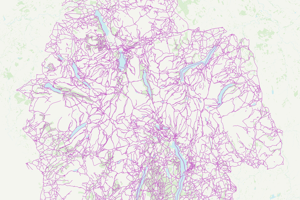
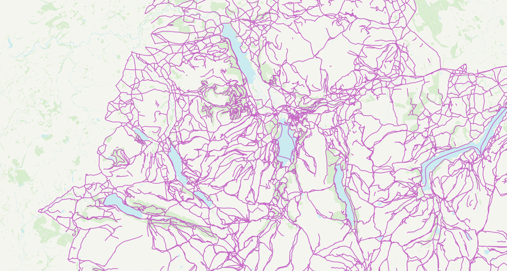
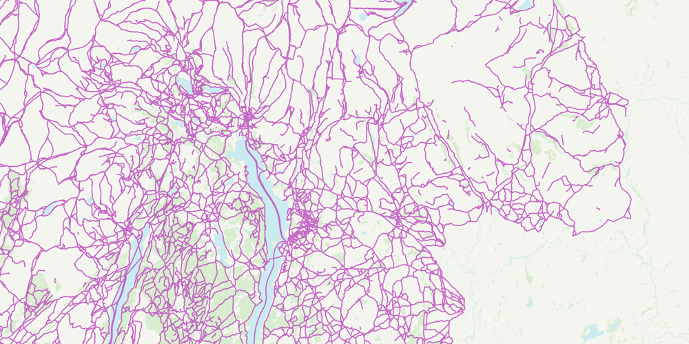
Coverage
The Detailed Path Network includes all roads (except motorways), tracks and paths that the public are allowed to use. The product includes coverage of the 15 National Parks of England, Scotland, and Wales including the extensions made to the Yorkshire Dales and Lake District parks. The data is not designed to be a definitive record of rights of way or other access rights.
Created with local experts
OS Detailed Path Network is the first OS path and track network product for the rural environment. The product has been created and tested by OS with input from local area specialists to ensure the product reflects what's on the ground.
Maintained and updated
OS Detailed Path Network is fully-maintained, and updated each October. This means the product maps well-trodden paths and any new ones in the National Parks opened during the previous year.
Technical specification
| Key Features | What this product offers |
|---|---|
| Feature types | Link and node network – links show the general alignment of roads and paths, and nodes record their junctions. |
| Attributes | Names, route usability, access rights and difficulty of route. |
| Formats | GeoPackage, Vector Tiles, GML v3.2 simple features |
| Update frequency | Annually in October |
| Supply | Download – You’ll need geographic information (GIS) software to use the data. |
| Coverage | National Parks of Great Britain: Lake District; Peak District; Snowdonia; Dartmoor; New Forest; Brecon Beacons; Yorkshire Dales; Cairngorms; Exmoor; Loch Lomond; North York Moors; Norfolk Broads; Northumberland; Pembrokeshire Coast; South Downs. |