Sustainable service delivery
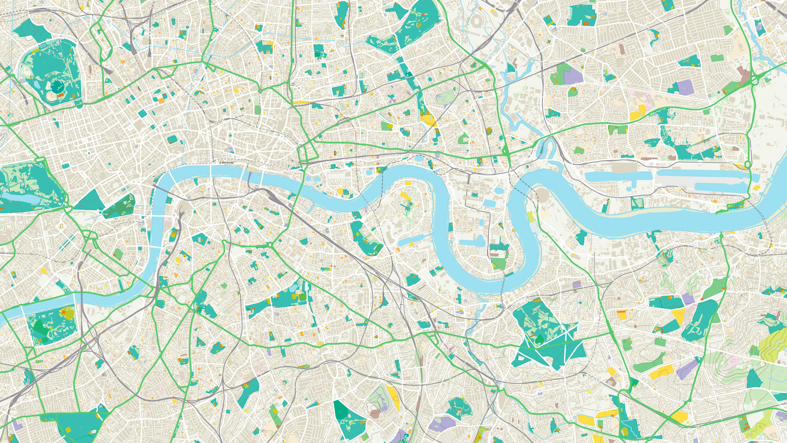
As Britain’s most comprehensive and up to date dataset of urban greenspaces, it can be used to support efficiencies in service deliveries, investments and policy creation where use of such greenspaces is a factor.
This product will become End of Life on 31 March 2027. Further information and details about the recommended product migration pathway are available on OS Docs.
Download a small area of OS MasterMap Greenspace Layer.
As Britain’s most comprehensive and up to date dataset of urban greenspaces, it can be used to support efficiencies in service deliveries, investments and policy creation where use of such greenspaces is a factor.
It can help you manage the local green environment, including air quality, biodiversity, housing regeneration and flood resilience.
Use OS MasterMap Greenspace Layer to support policy interventions around health and wellbeing though the promotion of increased physical activity and improved mental health.
The dataset contains additional greenspace-specific attribution to describe their function. It includes both publicly accessible and private green spaces, sports facilities and natural environment features.
OS Open Greenspace is Britain’s most comprehensive Open dataset of greenspace. Find the location of public parks, sports facilities, play areas, allotments and more.
Explore detailed land cover data, and visualise the land cover make-up of Great Britain, including both manmade features and natural land features.