OS MasterMap Highways Network - Roads
Try this product with free sample data
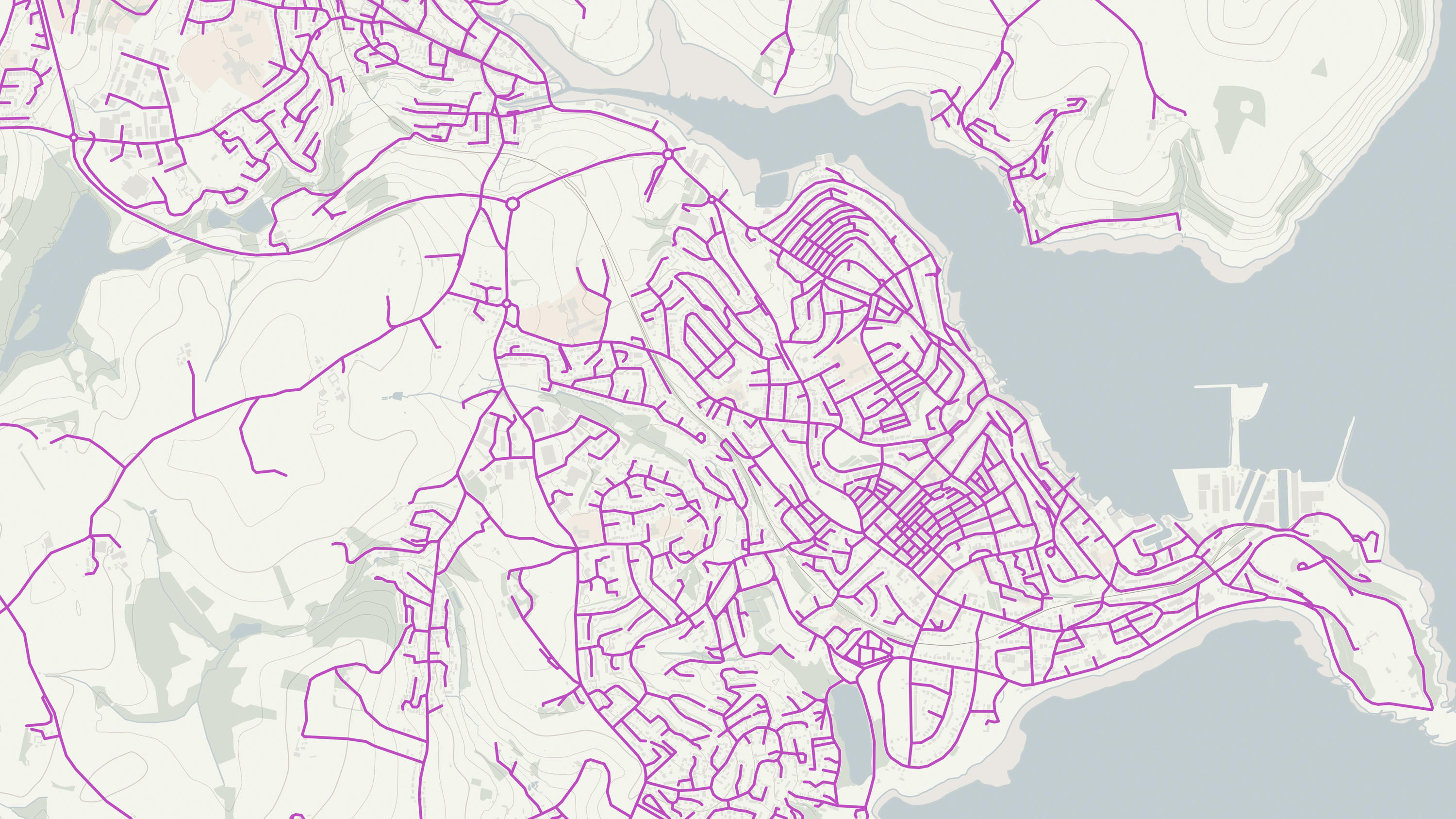
Download a small area of OS MasterMap Highways Network - Roads.
What OS MasterMap Highways Network - Roads provides you with
Unified highways data
A common highways dataset means a common understanding of the existing network, enabling better decision and policy making.
Unique identifiers
Highly detailed road geometry supplied with essential unique identifiers, including the Unique Street Reference Numbers (USRNs) and topographic identifiers (TOIDs) enables linking and sharing of data against the road and street networks.
Future proofed data
Get detailed information about planned roads and roads under construction helping you to better understand the roads of today and the roads of tomorrow.
Comprehensive and authoritative
OS MasterMap Highways Network - Roads combines high-quality, accurately surveyed data with features from the National Street Gazetteer; the Local Highways Authorities road name, numbering and maintenance; the Trunk Road Street Gazetteer collected by Highways England and Welsh Government; and the Scottish Street Gazetteer containing information from Scottish local authorities and Transport Scotland.
Use cases
OS MasterMap Highways Network - Roads can be used for:
- source for legal road identifications
- costings or benefits of road policies
- calculating funding allocations
- evidence-based policy making
- journey and transport planning
- emergency service planning
- enforcement regulation
- traffic statistics
- school allocation
- smart cities
Additional information
Use of NSG and OS data
Read information on the use of the National Street Gazetteer (NSG) and Ordnance Survey Data on docs.os.uk.
Related products
OS Open Roads
An open dataset of the high-level view of the road network in Great Britain.
OS Transport Network
A visual representation of Great Britain's transport networks including road, ferry, rail, and path networks, and the connectivity between them all.
OS Multi-modal Routing Network
OS Multi-modal Routing Network is a fully connected network dedicated for the multi-modal routing of people and goods, designed for use in routing applications.