Our free primary teaching resources range from understanding maps to teaching map skills. We’ve also listed some helpful external resources to support teacher training, and to share further tools for pupils studying geography.
Primary school teaching resources
Primary geography teaching resources suitable for children in years R to 6, ages 4 to 11 years
Ordnance Survey resources

Mapping in the Early Years
This resource provides an overview of geography in the Early Years and how essential map skills are to learning about our world. Fantastically researched, this includes practical ideas that instantly translate to an Early Years classroom.

Map reading
Our guides outline everything your students need to know about Ordnance Survey maps. These include top tips, such as how to use a compass, getting to know map symbols and understanding the national grid.

Inspiring map skills
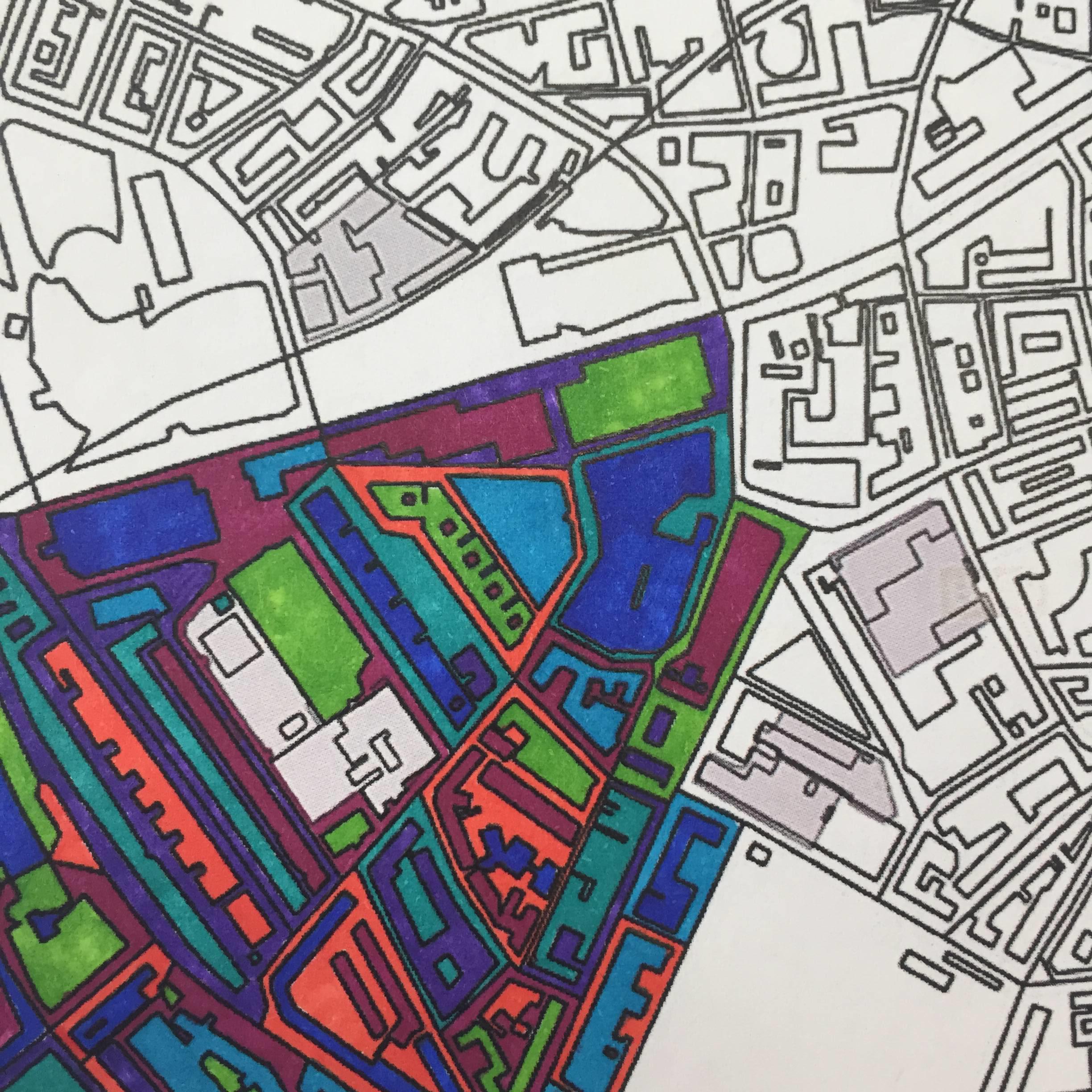
An insightful and practical guide provides the perfect support to enable class teachers to plan and implement the progressive and meaningful use of maps. The guide’s visually stimulating images, diagrams and readable text enable teachers to access and understand the interrelationship between intent and practice.
Tools to test map knowledge
Test your students’ geography knowledge using symbol flashcards.
OS Explorer map symbol flashcards (PDF)
Use our outline maps for colouring in and testing knowledge.
Outline map of Great Britain (PDF)
Map symbols and legends
Help your students develop their map reading skills with legends and abbreviations.
1:25 000 scale OS Explorer legend (PDF) - English
1:25 000 scale OS Explorer legend (PDF) - Welsh
1:50 000 scale OS Landranger legend (PDF) - English
Digimap for Schools resources
These one page guides are walkthroughs on how to use all the tools found on the Digimap for Schools platform. These resources are free to download and print.
Mapzone learning
If you’re teaching beginners at primary school, Mapzone is a free and fun interactive site you can use, with games, map quizzes, and tests.
External resources for Geographic Information Systems (GIS)
BBC Bitesize
The BBC supports students with their studies outside the classroom, at home and on the go. The site offers curriculum relevant study guides, short form videos, quizzes and interactives.
Digimap for Schools
Digimap for Schools is an intuitive, easy-to-use online resource, providing access to OS mapping of Great Britain, at a variety of scales.
EDINA
A world-class centre for digital expertise based at the University of Edinburgh. EDINA provides maps and geospatial data from OS and other sources for schools, colleges and universities.
Geograph
Geograph Britain and Ireland is a web-based project to collect and reference geographically representative images of every square kilometre of the British Isles.
The Geographical Association
The Geographical Association is the leading subject association for teachers of geography. They publish a range of journals, publications and training courses.
Royal Geographical Society
The society offers geography teaching resources and Continuing Professional Development (CPD) in subject knowledge, Geographic Information Systems (GIS) and fieldwork.
Royal Scottish Geographical Society
A champion for geographical education in Scottish schools, involved in policy discussions, promoting geography in schools, and projects.
Scottish Association of Geography Teachers
The Scottish Association of Geography Teachers (SAGT) are a Scotland-based subject association dedicated to further development and teaching of Geography.
Further teacher resources
Access geography teaching resources sorted into key stages; suitable for all age ranges from early years and key stage 1 up to key stage 4.
Can’t find what you need?
Contact us directly to speak to our friendly customer service team.