Our free secondary teaching resources range from designing a comprehensive geography curriculum to using the national grid. We’ve also collated some helpful external tools and resources to support geography studies and teacher training.
Secondary school teaching resources
Secondary geography teaching resources suitable for children in years 7 to 11, ages 11 to 16 years
Ordnance Survey resources

Designing a geography curriculum
Read our secondary school guide to designing a geography curriculum, for 11- to 16-year-olds.
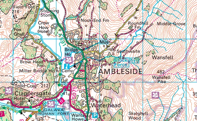
Using the national grid
This OS fact sheet explains how to understand and use the national grid.
Election mapping insights
Maps are a vital tool at election time. OS have resources to help schools make the most of our election maps. Browse our online tools for searching electoral boundaries in Great Britain and Northern Ireland.
Tools to test map knowledge
Test your students’ geography knowledge using symbol flashcards.
OS Explorer map symbol flashcards (PDF)
Use our outline maps for colouring in and testing knowledge.
Outline map of Great Britain (PDF)

Map symbols and legends
Help your students develop their map reading skills with legends and abbreviations.
1:25 000 scale OS Explorer legend (PDF) - English
1:25 000 scale OS Explorer legend (PDF) - Welsh
1:50 000 scale OS Landranger legend (PDF) - English
Digimap for Schools resources
These one page guides are walkthroughs on how to use all the tools found on the Digimap for Schools platform. These resources are free to download and print.
External resources for Geographic Information Systems (GIS)
BBC Bitesize
The BBC supports students with their studies outside the classroom, at home and on the go. The site offers curriculum relevant study guides, short form videos, quizzes and interactives.
BBC Teach
Free classroom resources for schools throughout the UK. This series introduces the satnav and online maps generation, through to traditional skills for reading detailed paper maps.
Digimap for Schools
Digimap for Schools is an intuitive, easy-to-use online resource, providing access to OS mapping of Great Britain, at a variety of scales.
EDINA
A world-class centre for digital expertise based at the University of Edinburgh. EDINA provides maps and geospatial data from OS and other sources for schools, colleges and universities.
ESRI
ESRI is the leading provider of geographic information system (GIS) and an Ordnance Survey Partner. ESRI ArcGIS Online for Schools is a free teaching and learning resource.
Geograph
Geograph Britain and Ireland is a web-based project to collect and reference geographically representative images of every square kilometre of the British Isles.
The Geographical Association
The Geographical Association is the leading subject association for teachers of geography. They publish a range of journals, publications and training courses.
Royal Geographical Society
The society offers geography teaching resources and Continuing Professional Development (CPD) in subject knowledge, Geographic Information Systems (GIS) and fieldwork.
Royal Scottish Geographical Society
A champion for geographical education in Scottish schools, involved in policy discussions, promoting geography in schools, and projects.
Scottish Association of Geography Teachers
The Scottish Association of Geography Teachers (SAGT) are a Scotland-based subject association dedicated to further development and teaching of Geography.
Further teacher resources
Access geography teaching resources sorted into key stages; suitable for all age ranges from early years and key stage 1 up to key stage 4.
Can’t find what you need?
Contact us directly to speak to our friendly customer service team.