


OS Linked Identifiers API
The relationships between the Open Identifiers can be accessed directly via the OS Linked Identifiers API and is available for free under the OpenData Plan.

Easily combine data from different sources through OS Open Identifier products to help understand the geographical context of your data

Unique Identifiers are at the heart of how data can be effectively published, retrieved, reused and linked. They are an essential component of data principles.
In the same way people have National Insurance numbers, key location identifiers are used to identify unique physical locations in Great Britain. As a simple code made of numbers and/or letters, it's easy to use and share identifiers in any kind of dataset.
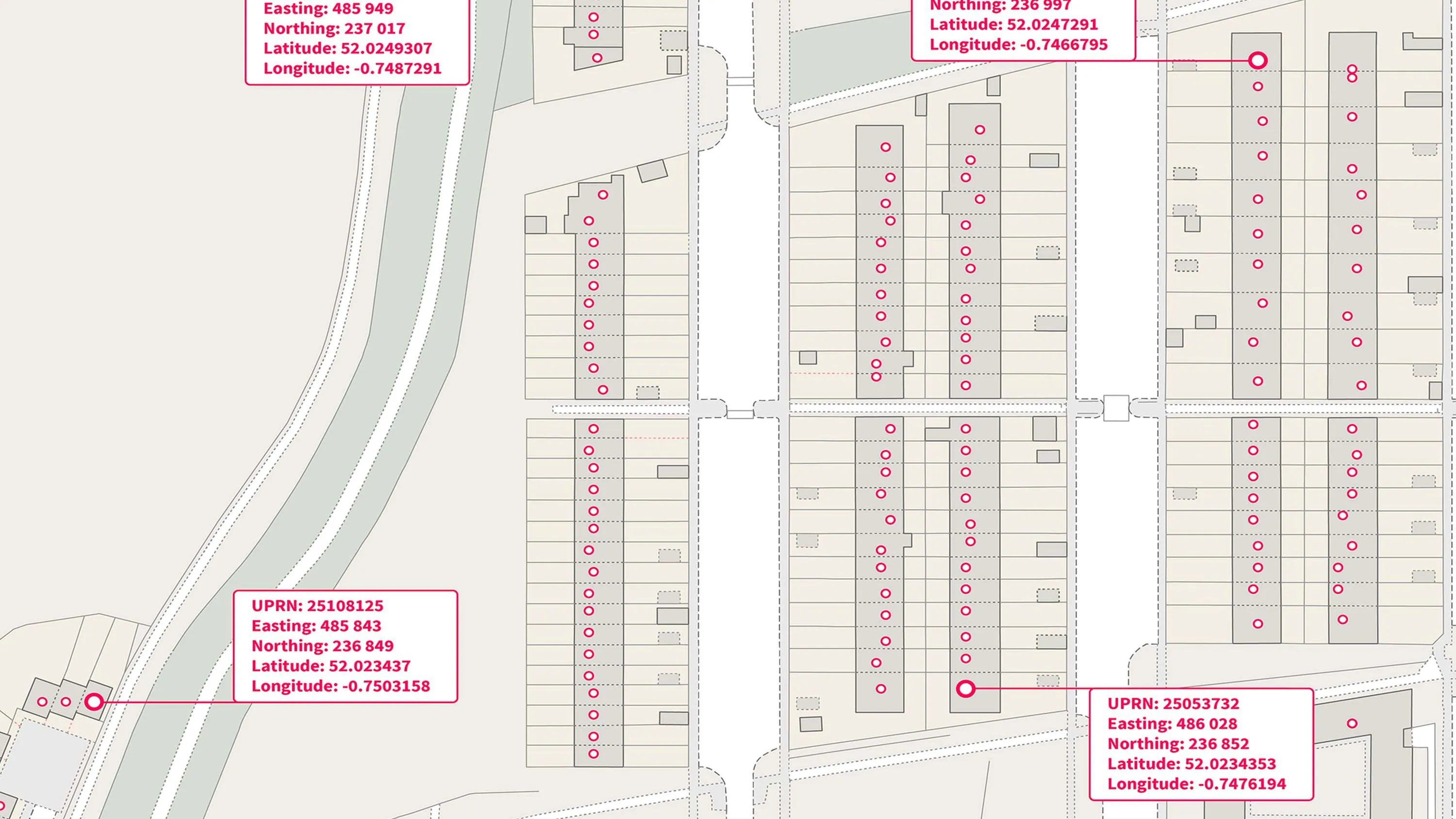
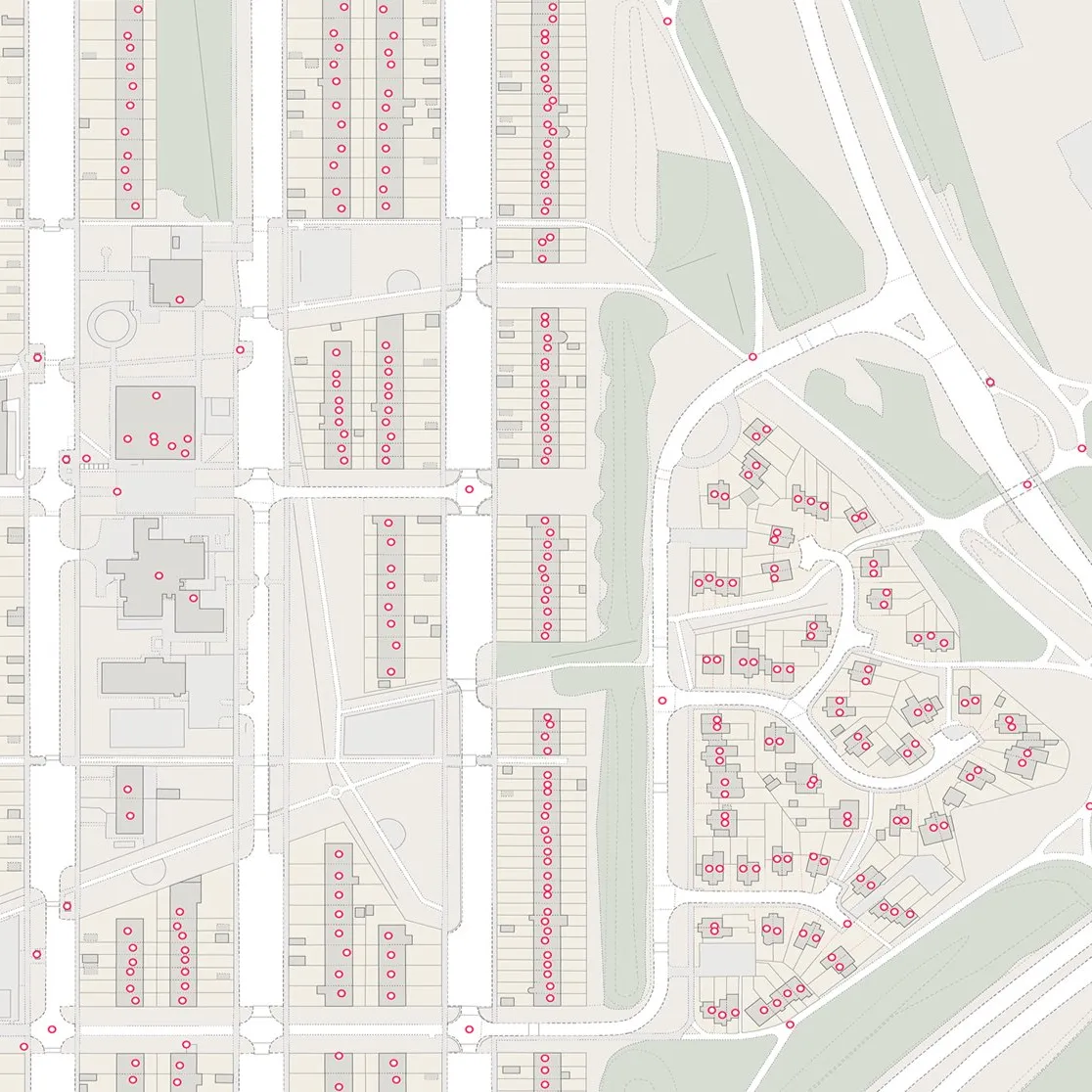
A UPRN is a unique numeric identifier for every addressable location in Great Britain. It is critical for property related information and can be found throughout OS's AddressBase products. UPRNs provide a consistent, persistent identifier for buildings or objects.
A USRN is a unique and persistent identifier for every street, road, track, path, cycletrack or way in Great Britain. It can be found in the OS MasterMap Highways Network products and is also a key component in OS’s AddressBase products.
A TOID is a unique identifier, consisting of the letters ‘osgb’ and followed by up to sixteen digits, associated with every feature in many of OS’s large scale products. The TOID is based on the Digital National Framework concept and the principles that underpin it.
This comparison table highlights the similarities and differences between the Identifier products
| OS Open UPRN | OS Open USRN | OS Open TOID | OS Open Linked Identifiers | |
| Unique property references | ||||
| Unique street references | ||||
| Topographic identifiers | ||||
| Relationships between UPRNs, USRNs and TOIDs | ||||
| UPRNs for all addressable locations | ||||
| USRN identifier and street type | ||||
| Reference between a feature and qualitative data | ||||
| 1:1250 to 1:10,000 scale | ||||
| Great Britain coverage |
An open dataset enabling linking, sharing and visualisation of data related to UPRNs.
An open dataset containing all USRNs from OS MasterMap Highways Network with a simplified line geometry.
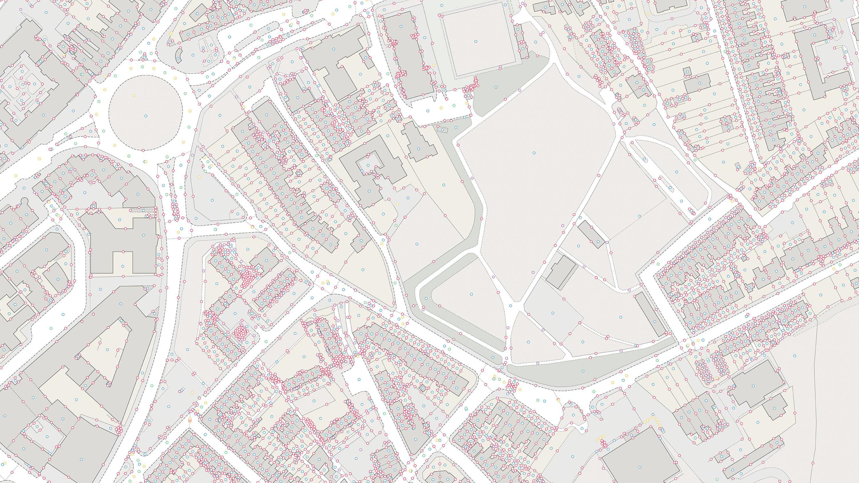
A dataset of unique identifiers for a wide range of land-scape and built environment features with a generalised location from OS MasterMap products.
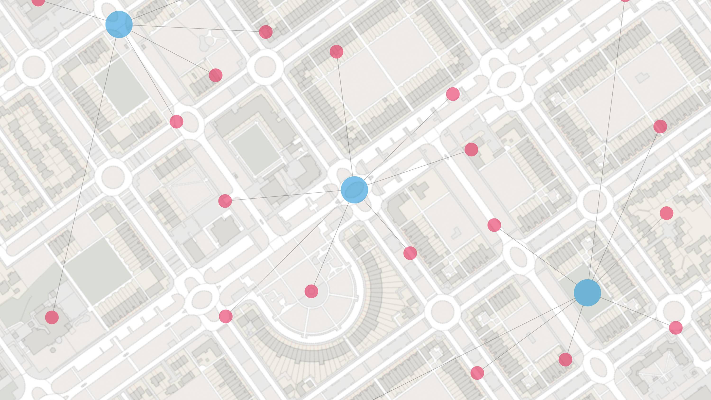
An open dataset of cross-referenced identifiers between various OS data products.
Read technical specifications, getting started guides and supporting information on our OS open data products.
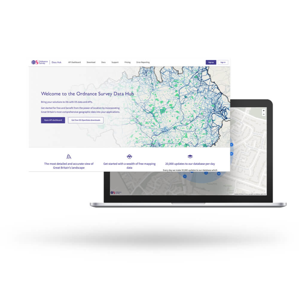
With over 20,000 updates to our databases every day, you have access to a comprehensive and up-to-date set of authoritative data through the OS Data Hub.
The relationships between the Open Identifiers can be accessed directly via the OS Linked Identifiers API and is available for free under the OpenData Plan.

Practical guidance on how identifiers can be designed, created and managed to make it easy for users to understand and combine data from different sources.

Our Open ID policy enables and encourages the use of our identifiers to join datasets and combine the value of our data with the value of yours.
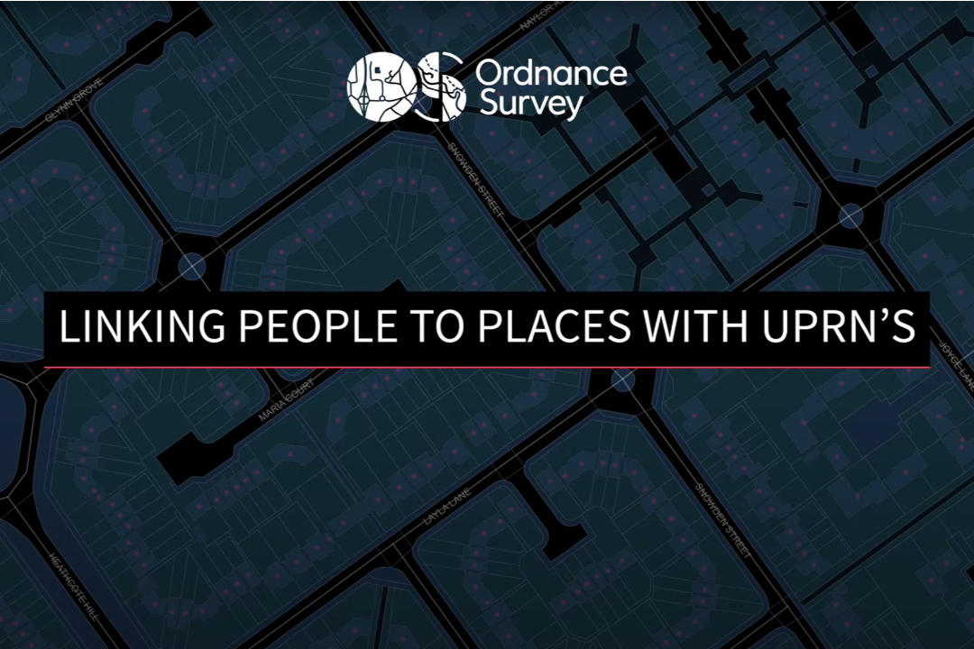
See how adding the UPRN to other datasets can help make deeper sense of data once it’s all linked together. Watch this 2 minute video to learn more.