Overview
Using our aerial imagery to check road markings, tree canopies or site entrances cuts down the need for site visits, so you can save money and manage time more efficiently.
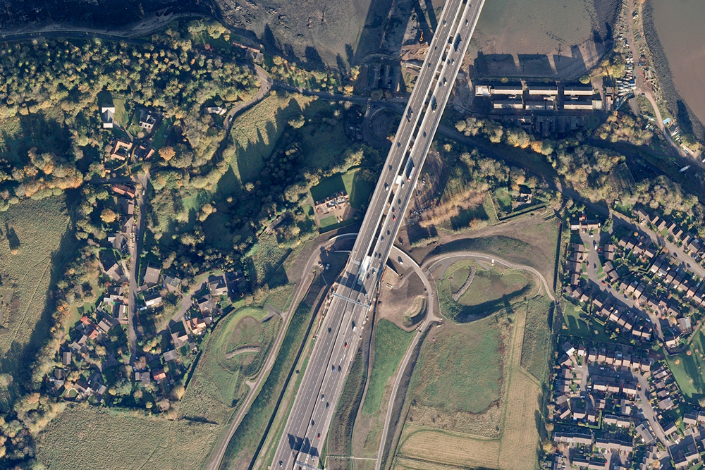
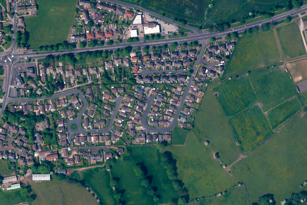
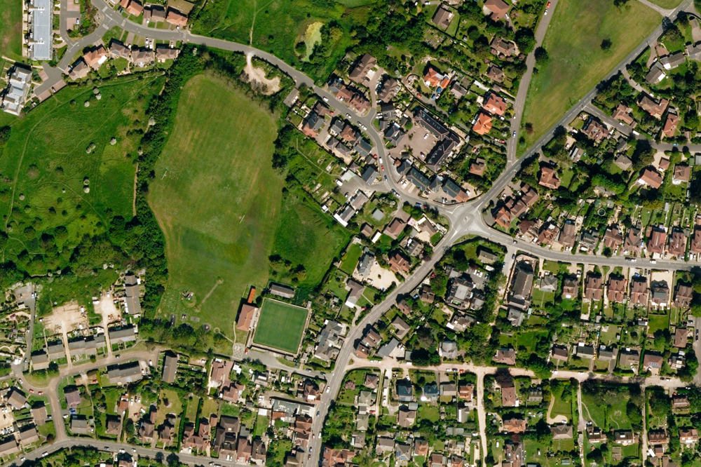
For engineers, for surveyors, for planners, Imagery Layer is a revelation. It's aligned to OS MasterMap Topography Layer and is incredibly detailed, expertly colour-balanced and corrected for geometric distortions.
OS MasterMap Imagery Layer is an off-the-shelf product for the whole of Great Britain. You can get it under perpetual use terms – ideal for projects – as well as fixed-term licences.
Active capture programme
More than 97% of our imagery is less than five years old; 90% is less than three years old.
Up-to-date imagery and data
OS MasterMap Imagery Layer uses the same source imagery that underpins our large-scale data updates. Our processing software produces true-orthorectified imagery, removing building lean from aerial imagery to give you a consistent top-down view.
You can easily interpret the detail
You can easily spot properties with solar panels, conservatories and other home improvements, thanks to the layer's 25cm resolution. This makes the product ideal for planning and environmental monitoring.
How to get this product
Case studies

Running a safe and secure major national event – with geospatial information
OS provided geospatial information and intelligence to meet the needs of the 2012 Olympics.

OS pioneers smarter CCTV for Salford
This case study looks at how support and data from OS helped to reduce crime, support local authorities and create much safer, more connected, smart cities in the City of Salford in Greater Manchester.
Technical specification
| Key Features | What this product offers |
|---|---|
| Format | JPEG, TIFF and ECW |
| Metadata | XML format for each block, including day, month and year flown |
| Resolution | 25cm |
| Update frequency | Quarterly (February, May, August and November), as part of our three year cyclic revision programme synchronised with large-scale data updates. |
| Supply | Download or, for large orders, portable hard drive |
| Coverage | Great Britain |
| Product refresh | Quarterly full supply or change-only update |