AddressBase data products and support
In-life AddressBase products
Information about other AddressBase products is available:
AddressBase Core
AddressBase Core is a simple, accessible addressing data product giving plug and play access to complete, accurate address data.
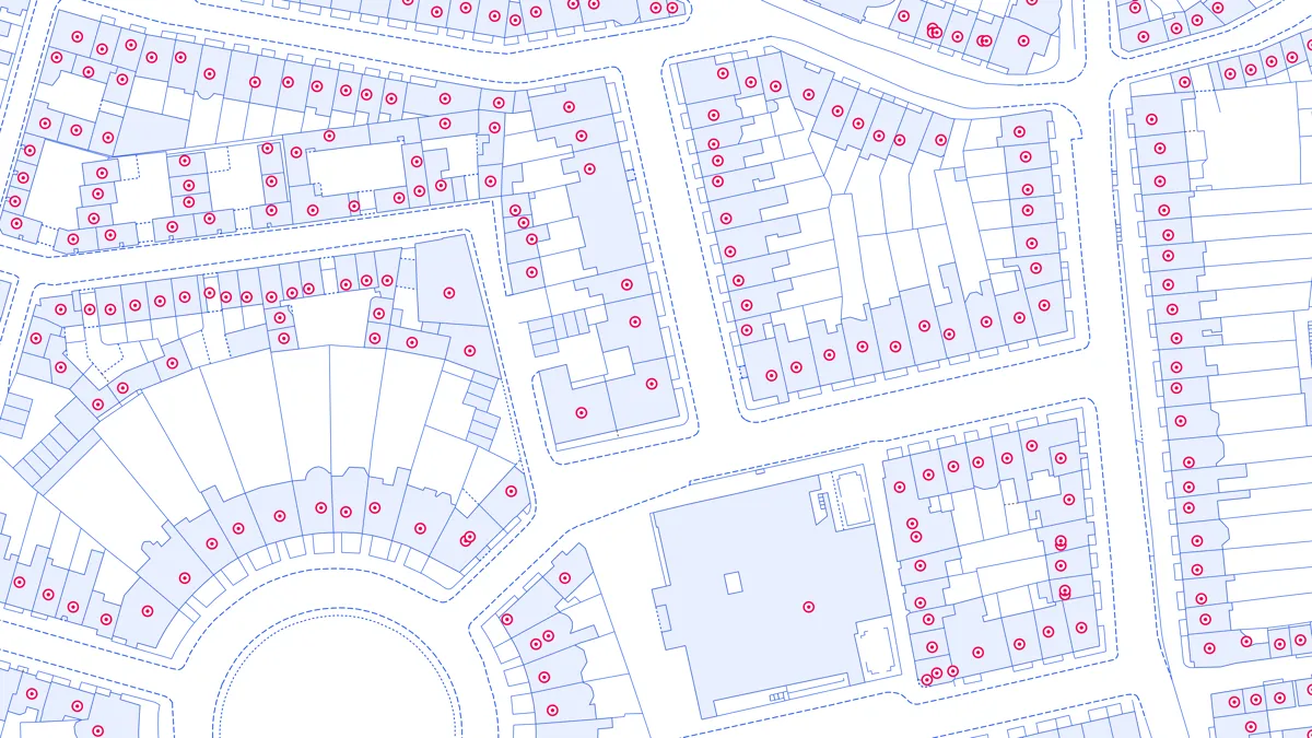
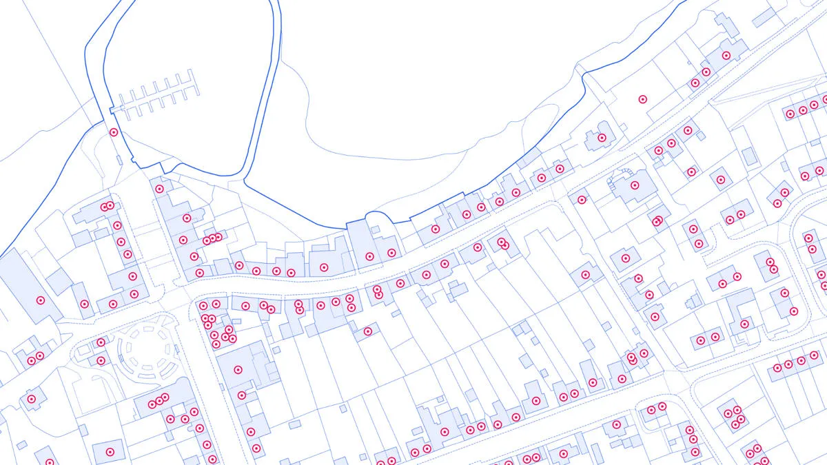
AddressBase Premium
AddressBase Premium offers full lifecycle information of a property that can be used within geographical information systems & database systems.
AddressBase Premium Islands
An addressing gazetteer offering full lifecycle information of a property for Northern Ireland, Isle of Man and the Channel Islands.

New addressing products
We also have a range of new addressing products available:
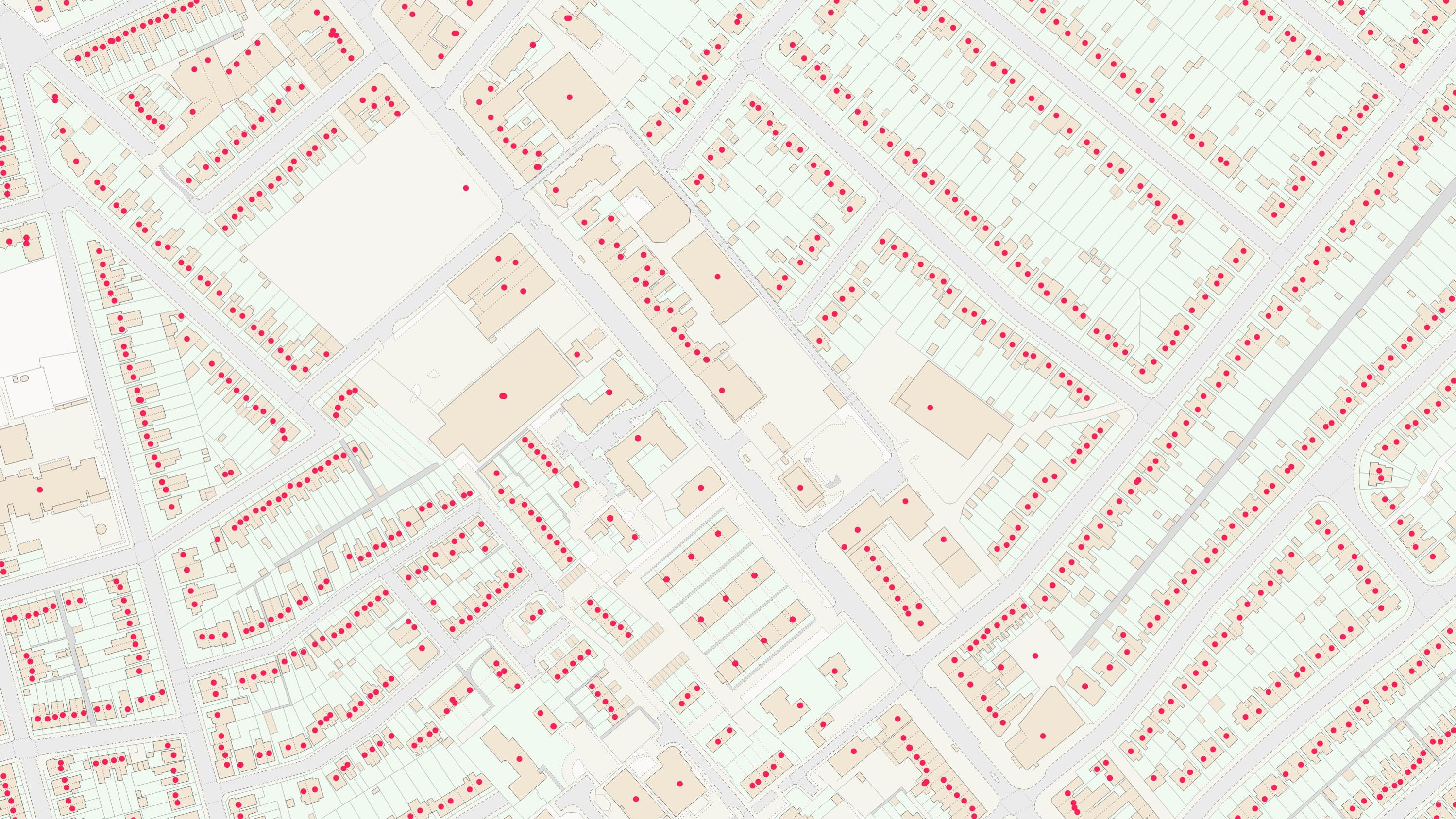
OS GB Address
A complete address data collection for Great Britain, including UPRNs, property classification, postal status, and construction status.
OS Islands Address
A complete address data collection for Northern Ireland, the Channel Islands and Isle of Man, including UPRNs, and property classification, postal and construction status.
OS Named Features
Our list of named features and places, as identifiers for locations in the real world: cities, towns, beaches, reservoirs, and more.