We recently received an intriguing query from one of our partners who wanted to know how to identify wind turbine locations on a nationwide scale.
The best way to do this is through the extraction of Topographic area and Topographic point features within Ordnance Survey’s MasterMap Topography Layer - our premium digital dataset which can be used to extract information on a variety of geographic features. Typical examples can include points of interest, building footprints, street & road information amongst others.
What do you need to do to answer this query?
Max Canty, one of our Technical Consultants gives us an answer.
Follow this 4-step workflow process, in this example we have the data loaded into a spatial database:
1.
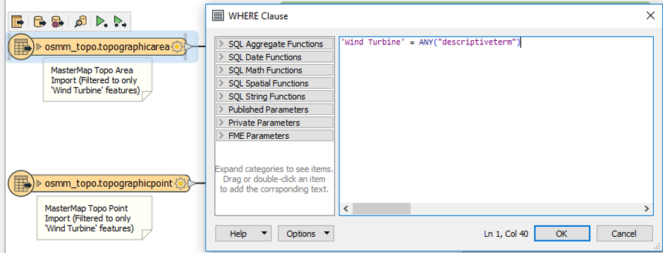
The first step is to extract the topographic area & topographic point features from the spatial database. In this example we have utilised an ETL (extract, transform, load) software called FME and imported both features layers from the spatial database.
Whilst the import runs into FME, a SQL statement is executed simultaneously to filter the features to only ones with the text ‘Wind Turbine’ within the ‘Descriptive Term’ field.
2.
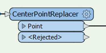
As the features within the topographic area are polygons, the second stage is to replace the geometry with a point feature.
Within FME, you can apply what is termed a ‘CentrePointReplacer’ process tool (or ‘transformer’) to process each polygon and replace the geometry with the gravitational centre point of the polygon.
3.
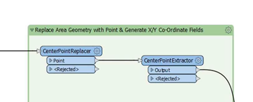
In the third step, we took the newly formed point geometry and extracted the co-ordinates of the point geometry.
This can be done using the ‘CentrePointExtractor’ transformer which creates new attributes to the underlying data, holding the co-ordinates, which gives users the flexibility to geocode and use in other systems.
4.
Finally, we packaged up the result and output to GeoPackage (an OGC data format) which can be visualised in a GIS system.
The full feature catalogue for OS MasterMap can be found here.
*watch this space for future articles containing more ways to do this if you want to display the output in a web browser or back end system.