October 2020
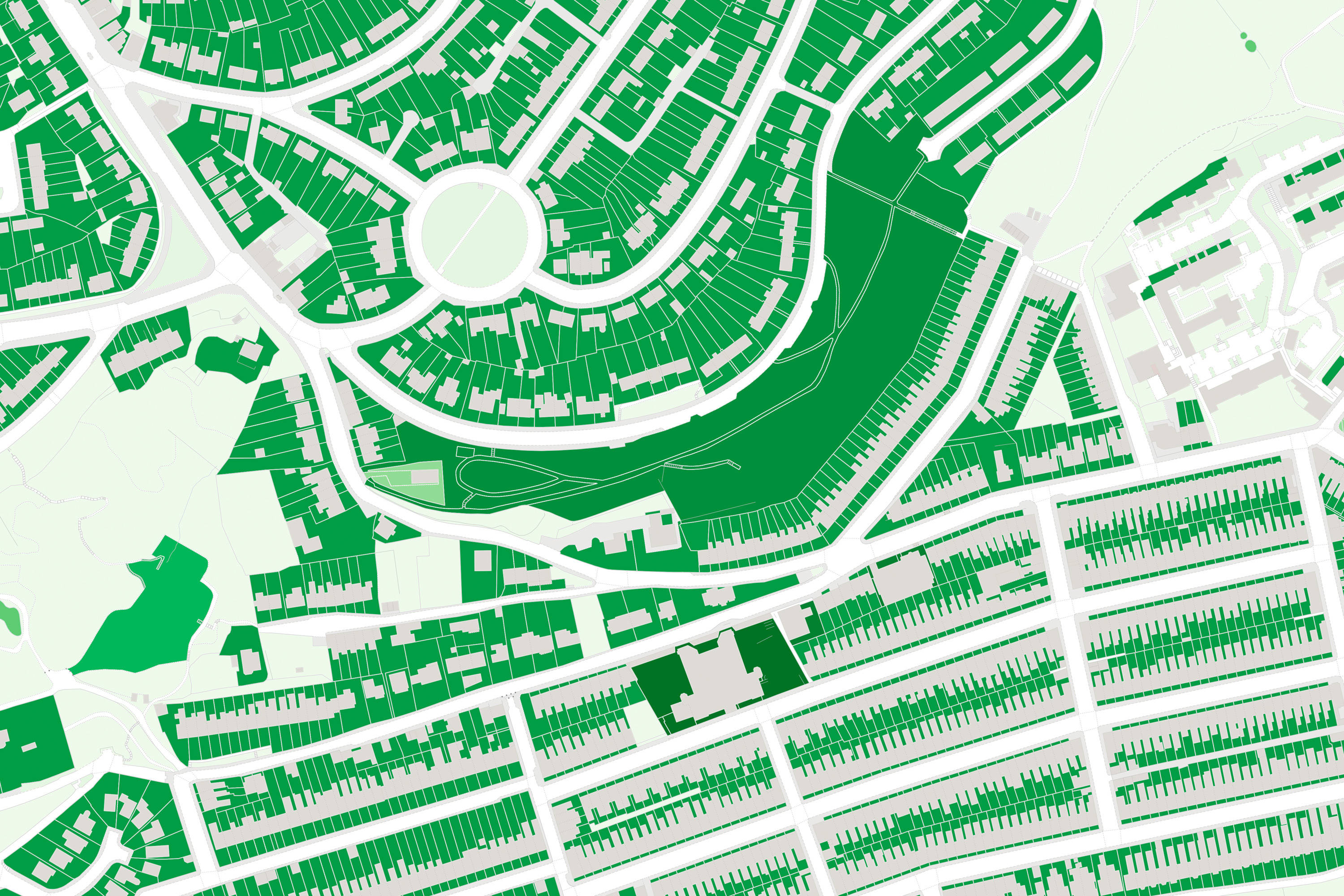
This OS MasterMap derived dataset provides a comprehensive overview of all urban outdoor greenspaces in Great Britain. The layer includes the location and extensive classification information on the primary (and secondary if applicable) function of the greenspace including examples such as Private Garden, Playing Field, Bowling Green & Tennis Court.
This allows for ease of integration and filtering so that the user can view the most relevant greenspace for them. Additionally, as the dataset is derived from the MasterMap product series, it provides the opportunity to integrate seamlessly with Topography Layer & Water Network layer.
As with previous articles, to put this into context let us take an example of local resilience forum who are conducting an exercise on the threat of an incoming weather system. They understand that a significant amount of rainfall is forecast and need to know the potential surface flooding risk as the water table in the area is already saturated.
Questions they need support with include:
- I need to identify which surface types of green space are within the at-risk area?
- How much green space is of natural substance that could be reliant on a water table?
- We have a defined polygon of the rainfall area – how much green space falls within the area?
- If a green space is at risk of becoming flooded, we need to know if the location is accessible by the public or is private land?
Greenspace Premium has an answer for each of these questions. Below are answers on methods that can be implemented, using the product:
I need to identify which surface types of green space are within the at-risk area?
As standard, the product has information included on the form to which the green space is built upon. Examples of surface type form include manmade, woodland, semi-natural & multi-surface. This means that the user can aggregate all the green spaces in the at-risk area and analyse which surface types are more dominant than others.
How much green space is of natural substance that could be reliant on a water table?
Leading on from the previous answer, once you have all the forms of green space that exist in the area, the user can then strip out any greenspace that is manmade. This will then give a picture of the quantities of greenspace that would be reliant on the water table that is already saturated.
We have a defined polygon of the rainfall area – how much green space falls within the area?
As the dataset includes the geometry of each green space, the user can conduct a spatial intersection query with their rainfall area polygon to identify the green space most at risk. The user will then be able to go one step further by calculating the total square area of the resulting green space to understand the extent of potential surface run off.
If a green space is at risk of becoming flooded, we need to know if the location is accessible by the public or is private land?
Helpfully, the product provides as standard, information on function of the green space, as detailed earlier in the article. This means that the user can very quickly break down the quantities of green space that sit in private garden as opposed to green space in more publicly accessible locations such as public parks & playing fields.