February 2021
For this month’s article, we are going to review how users can identify and quickly calculate statistics on feature changes between one release and another of our OS MasterMap Highways product.
One of the cleanest methods for conducting this analysis is to utilise our ‘Change Only Update’ files (COU for short). These files contain only features that have changed in the product since the last release and are helpfully linked with a ‘change code’ that helps identify what the specific change of that feature is.
These files and respective change codes result in a more convenient way of updating the product without the requirement to reload all components of the product that could have repercussions such as being time consuming or incur support costs.
In addition, a user may want to use the COU file in isolation as a means of reviewing the changes and generating statistics of the change before it is applied to the dataset so that the user can determine whether there are any significant implications in applying the update.
Types of Change
When it comes to using COU files specifically for the OS MasterMap Highways product, there are 5 types of change that can exist and can be found in the ‘reasonforchange’ attribute. These types are listed below along with a description of the change:
| Code | Description |
| NEW | New feature has been added |
| MODIFIED GEOMETRY | The geometry of the feature has been altered |
| MODIFIED ATTRIBUTES | One or more attribute properties have been altered |
| MODIFIED GEOMETRY AND ATTRIBUTES | Geometry and attribution properties have been altered |
| END OF LIFE |
The feature has been removed from Ordnance Surveys master database. This value will only be used with Change Only Update orders. |
For most users, the relevant pieces of change information include new features, features which have changed geometry or features that no longer cease to exist. However, it is worth pointing out that whilst changes in corresponding attributes to the feature will be harder to detect as being significant, they can have a material impact on associated use of the product. An example of this is when a road feature classification has changed and the user has a product view that automatically removes certain classifications that have been deemed not essential. Thus the user may expect a feature to appear and it does not, simply owning to a change to its classification attribute.
Change consequence
There are certain consequences that a user may need to be aware of when implementing changes to the OS Highways product as part of applying a COU file. Two consequences to look out for are feature deletions and feature geometry changes as set out below:
Feature deletions
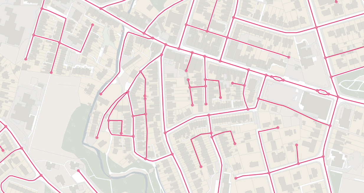
When features are removed, their respective start and end nodes are also deleted. This results in the adjoining road link having to change geometry to accommodate the node removal. The image highlights an example where links ending 178 & 179 (in bold red) are being deleted, that in turn results in link ending 378 being merged with link ending 302. This results in a ‘modified geometry’ change for link ending 302 and link ending 378 being deleted (due to being the shorter of the two links).

Geometry changes
When features have a geometry change, this can have a knock-on effect to the TOID (Topographic Identifier) value that is assigned to the feature. The fundamental rule to follow is the object that retains more than 50% of the original feature size, will also retain the original TOID value. Any object that still exists and has less than 50% of the original feature size, will be assigned a new TOID value.
With reference to the previous example, link ending 302 has been joined to link ending 378 (with link ending 378 then being deleted). Applying the rule above and as link ending 302 still exists with more than 50% of it’s original feature size, it results in no modification to the associated TOID value.
Upcoming webinar
Managing change to the OS MasterMap Highways product using COU files can enhance the way the user ensures the features are current and up to date. The files, in isolation, can also be used as a statistics tool to compare against what the user already maintains.
This and much more from our guest speaker will feature in our upcoming webinar:
Using COU to manage change webinar with Department for Transport on 2 March 2021 at 11:00AM