Our full data packages can be downloaded via the OS Data Hub, including our OS OpenData which is free to use by anyone. You can find out if our premium data products are right for your business by sampling some of our products. By downloading our sample data packages, you agree to the terms of the Data Exploration licence (PDF).
Explore sample data
Try out OS Premium Data by downloading sample data packages
Types of data from Ordnance Survey
It’s important to know what works for your business, and what kinds of data you’ll need for your project
Addressing data products
Our addressing products each have different levels of data insights to understand location and property life cycles.
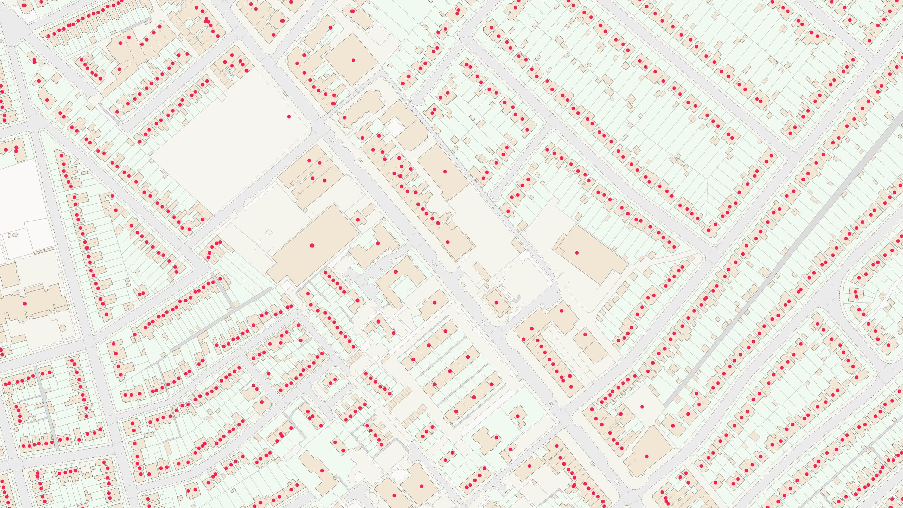
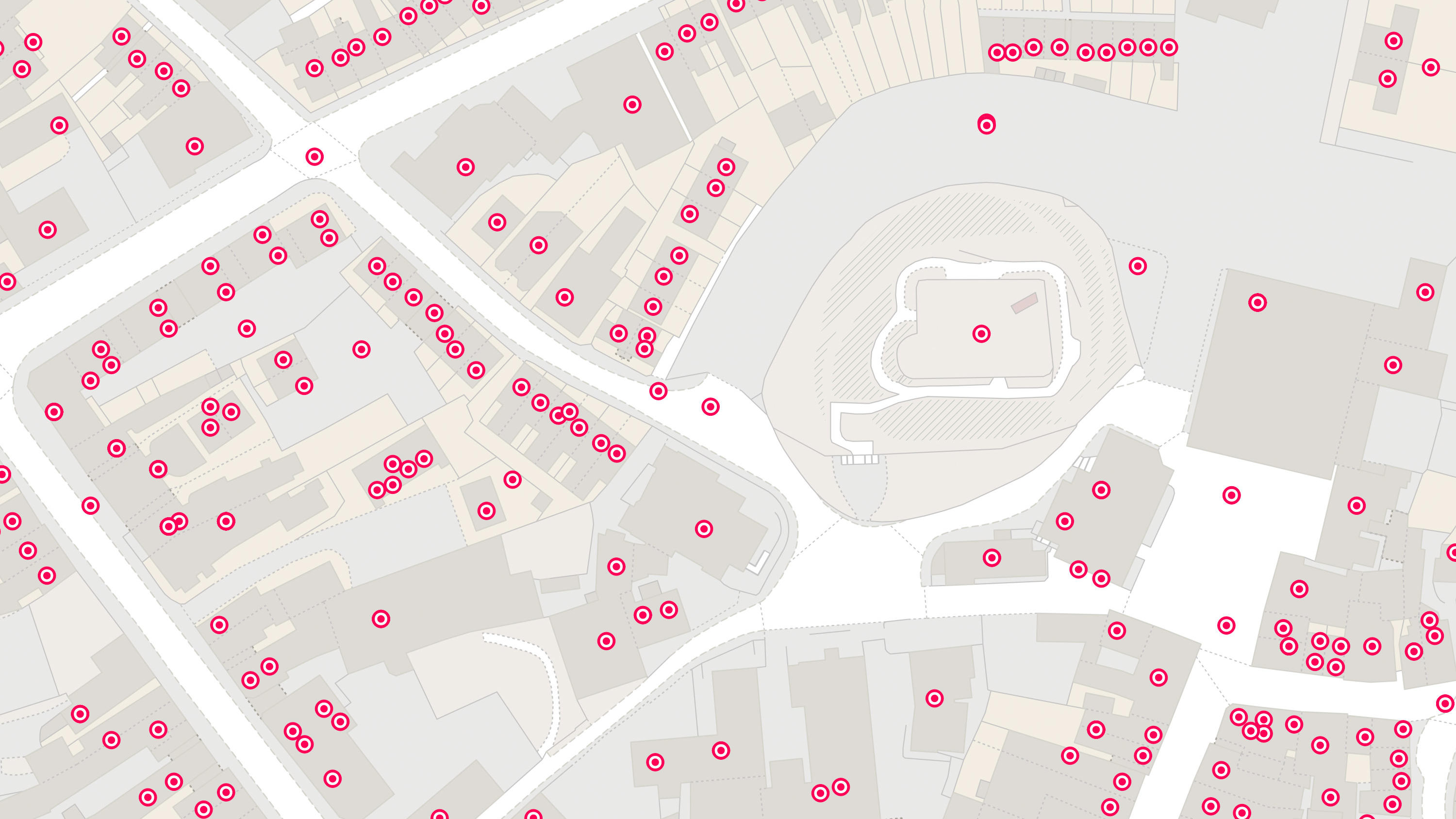
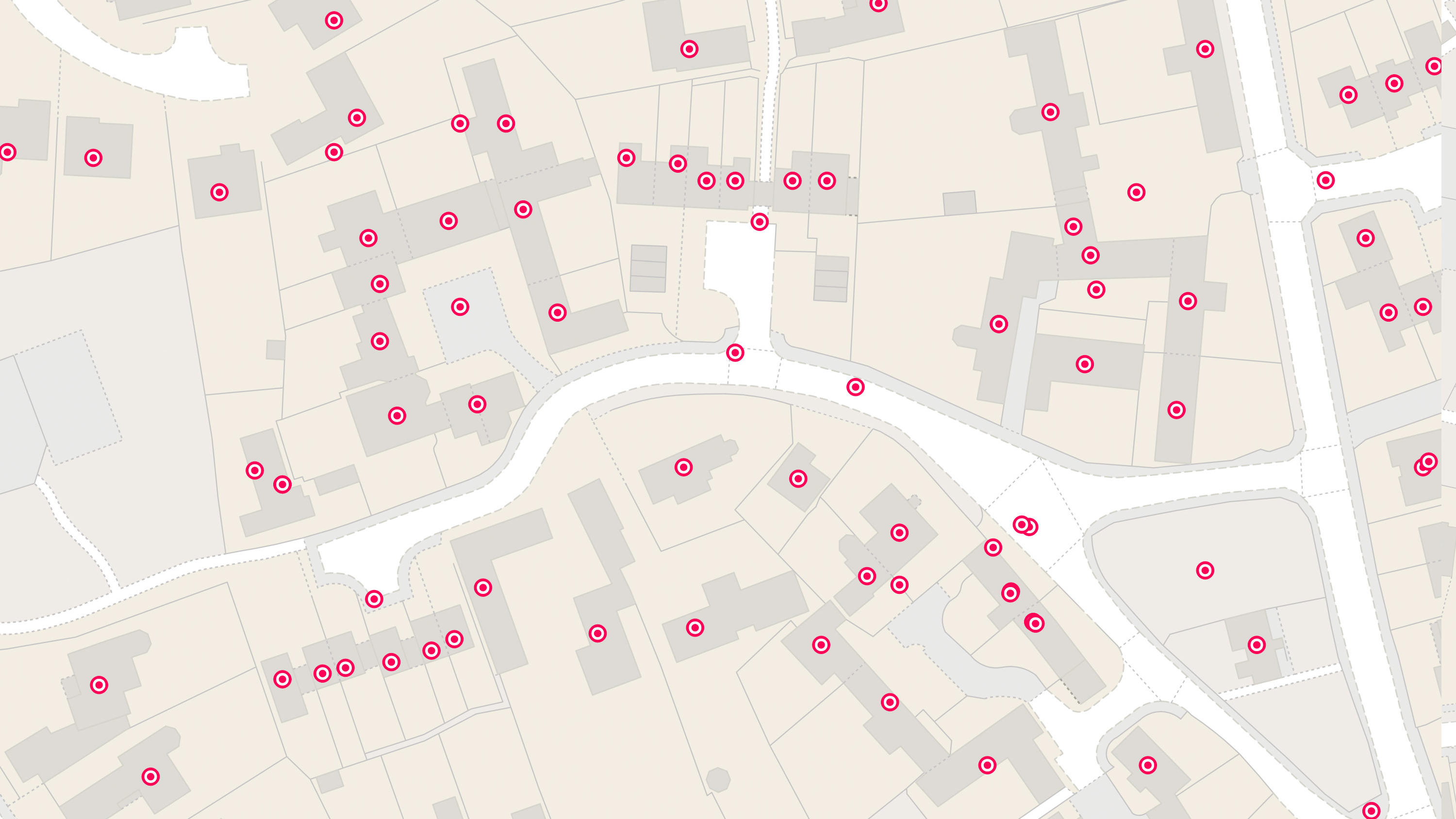
AddressBase
AddressBase matches 29 million Royal Mail postal address to unique property reference numbers, bringing a new dimension to the matched records.
AddressBase Core
AddressBase Core is a simple, accessible addressing data product giving plug and play access to complete, accurate address data.
AddressBase Premium
AddressBase Premium offers full lifecycle information of a property that can be used within geographical information systems & database systems.

AddressBase Plus
A dataset containing UPRN, PAF UDPRN, business/residential classification, local authority current addresses and the OS MasterMap TOID.
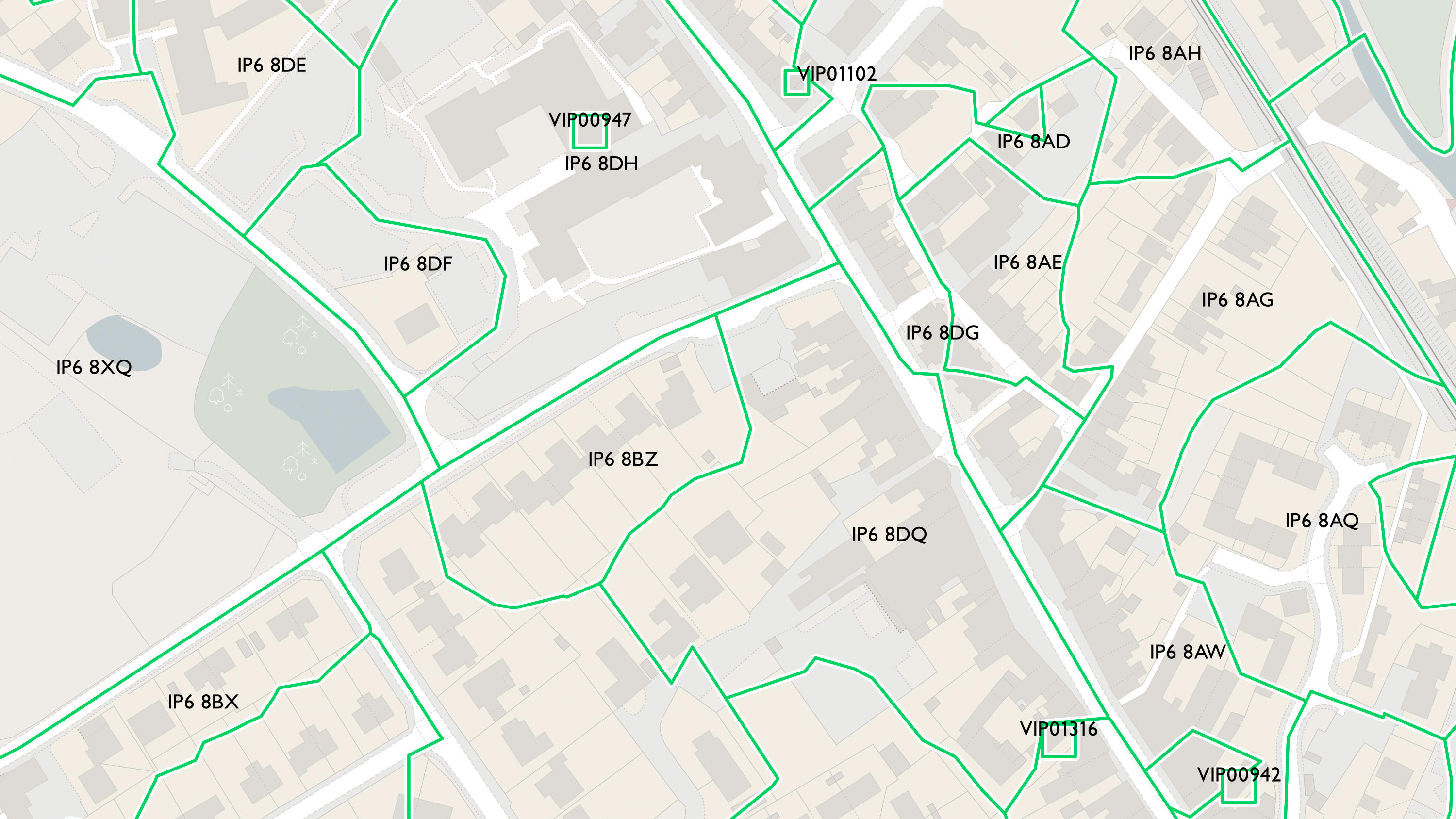
Code-Point with Polygons
Code-Point® with Polygons shows the notional shape of every postcode unit in Great Britain including buildings with multiple postcodes.
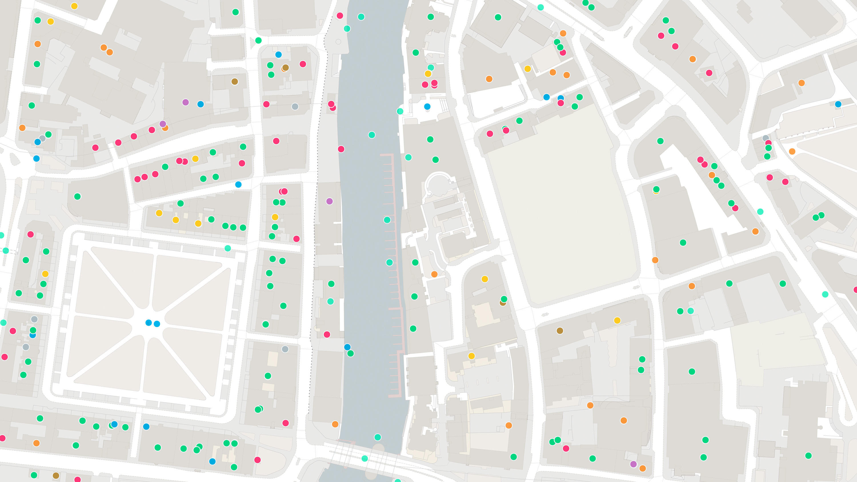
Points of Interest
Points of Interest is a directory of all public and privately-owned businesses, education and leisure services .
Topography data products
Our topography products show the height and geography of the land across Great Britain.
OS MasterMap Topography Layer
OS MasterMap Topography layer provides a map dataset of Great Britain's landscape – from roads to fields, to buildings and trees, fences, paths and more.
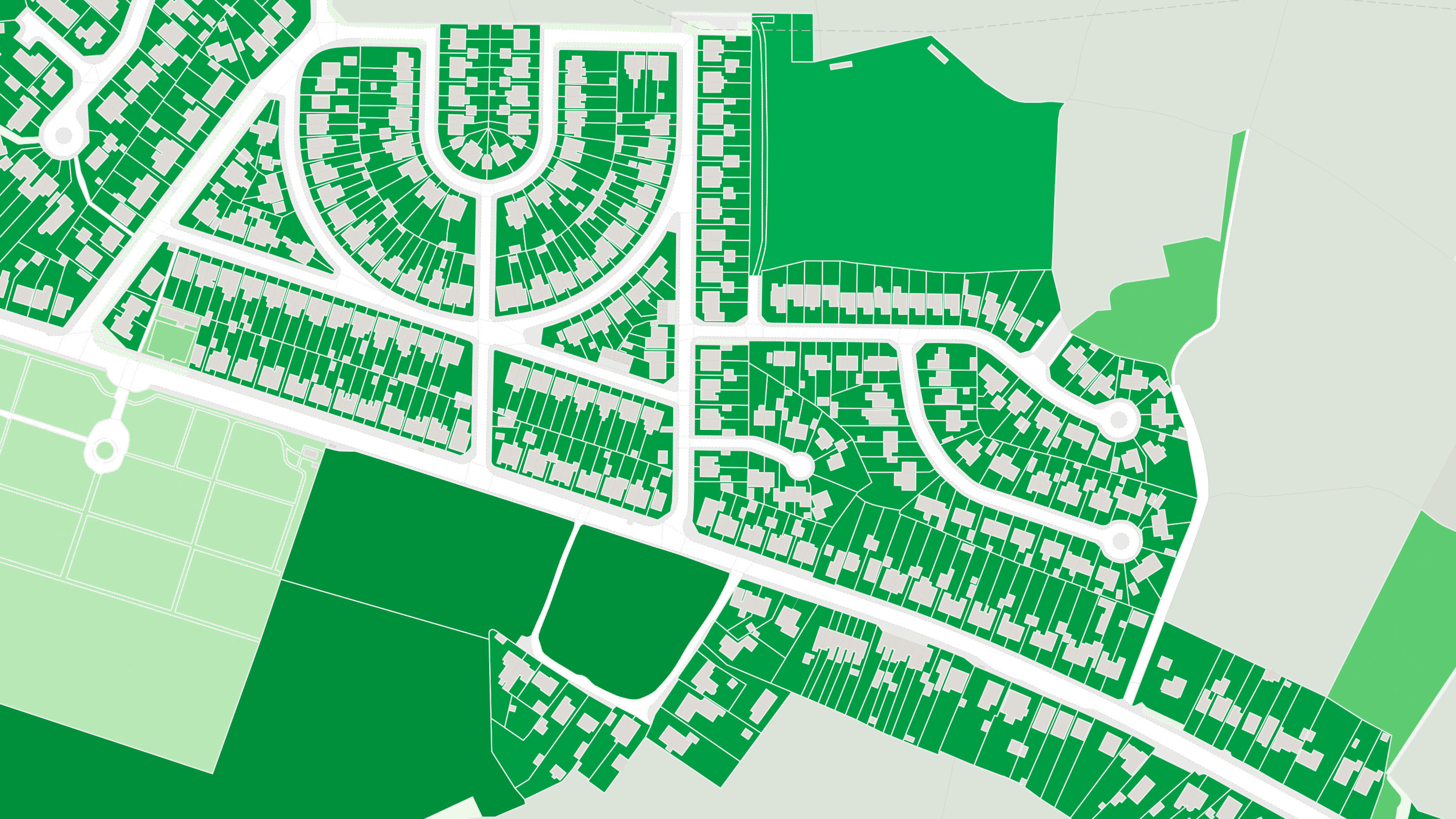
OS MasterMap Greenspace Layer
OS MasterMap® Greenspace Layer is a detailed dataset of the greenspaces within an urban area for Great Britain.
OS MasterMap Building Height Attribute
OS MasterMap Topography Layer is a dataset showing building heights for Great Britain.

Network data products
Our network products provide detailed network datasets for roads, watercourses, paths and tracks.
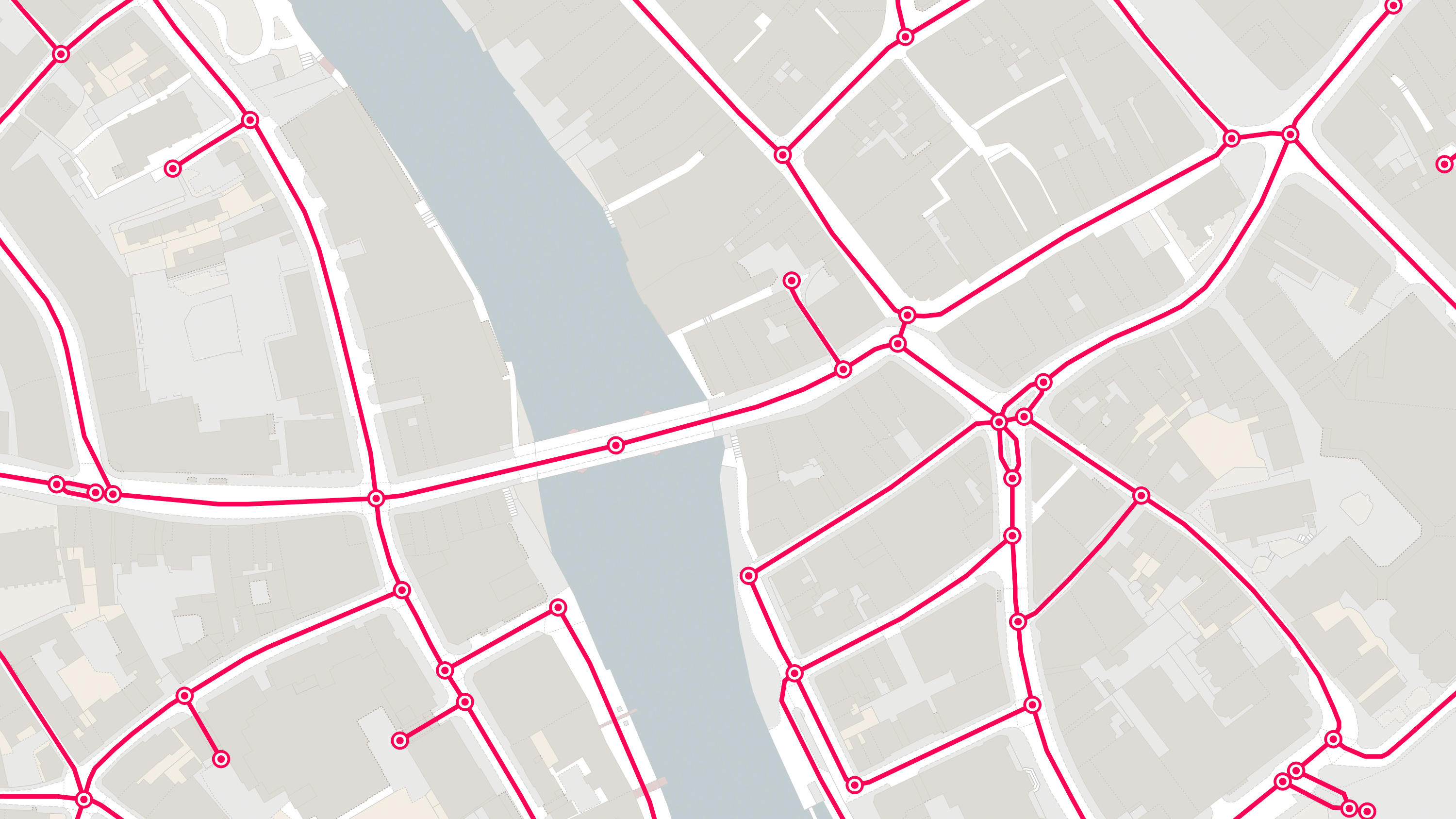
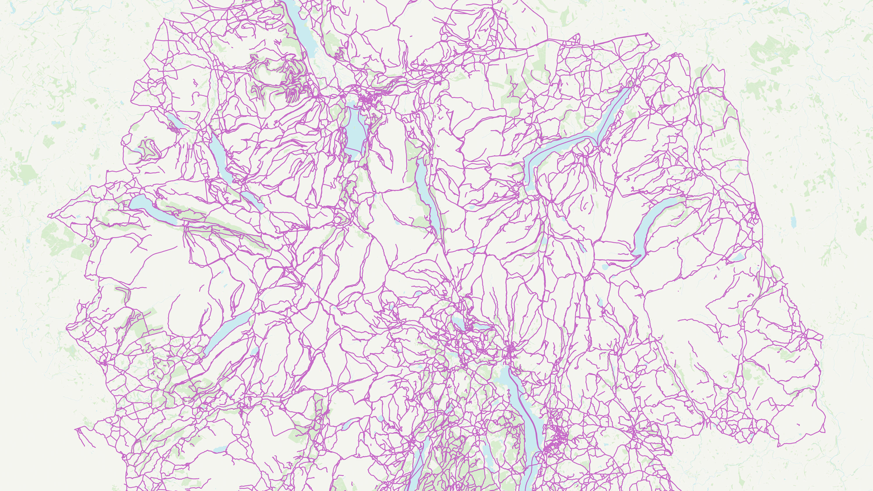
OS MasterMap Highways Network - Roads
A navigable road network dataset with detailed information about planned roads and roads under construction for Great Britain.
OS MasterMap Highways Network - Paths
A path network dataset for Great Britain showing who is responsible for all the footpaths through towns and cities.
OS MasterMap Highways Network - Routing and Asset Management
OS MasterMap® Highways Network is the most complete, detailed and accurate navigable road network dataset for Great Britain.


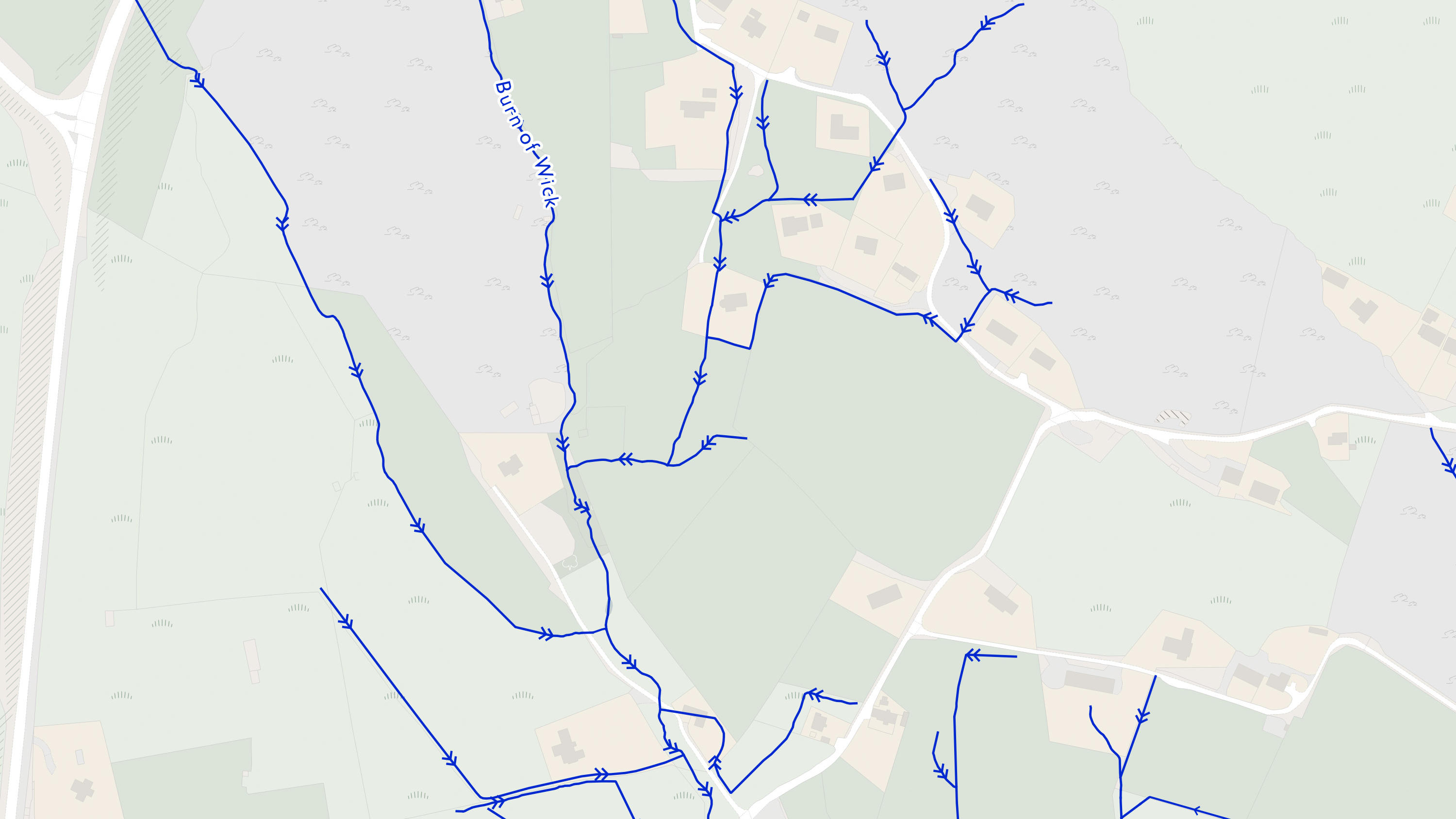
OS MasterMap Networks - Water Layer
A heightened water network dataset showing flow and precise course of every river, stream, lake and canal in Great Britain.
OS Detailed Path Network
A routable fully-connected heightened path and track network for Great Britain.
Contextual and derived mapping data products
Our Raster and VectorMap products enable customisable street level mapping and digital alternatives to OS Landranger and Explorer paper maps.
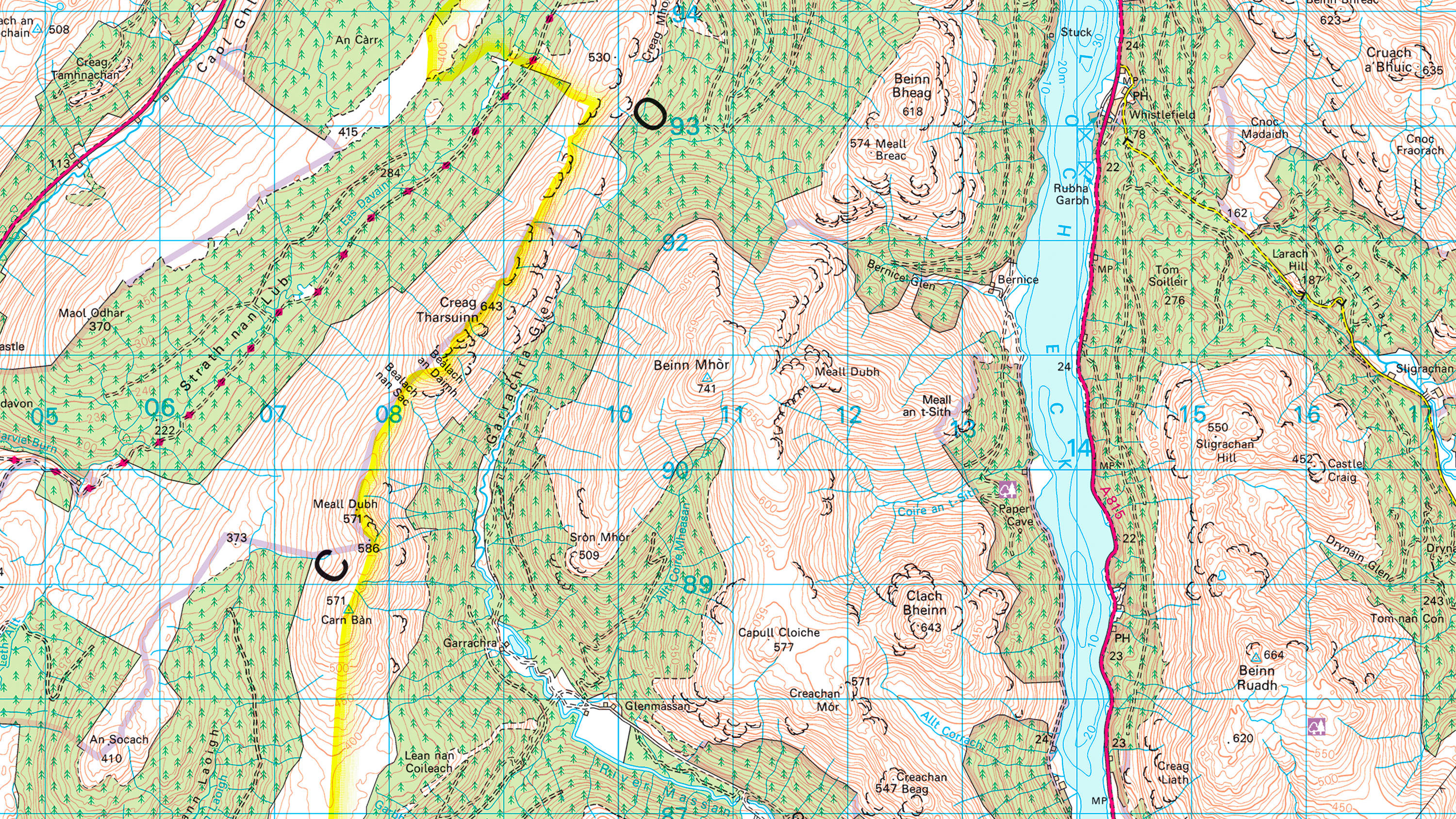
1:25 000 Scale Colour Raster
1:25 000 Scale Colour Raster is the digital alternative to Ordnance Survey's OS Explorer paper map series for Great Britain.
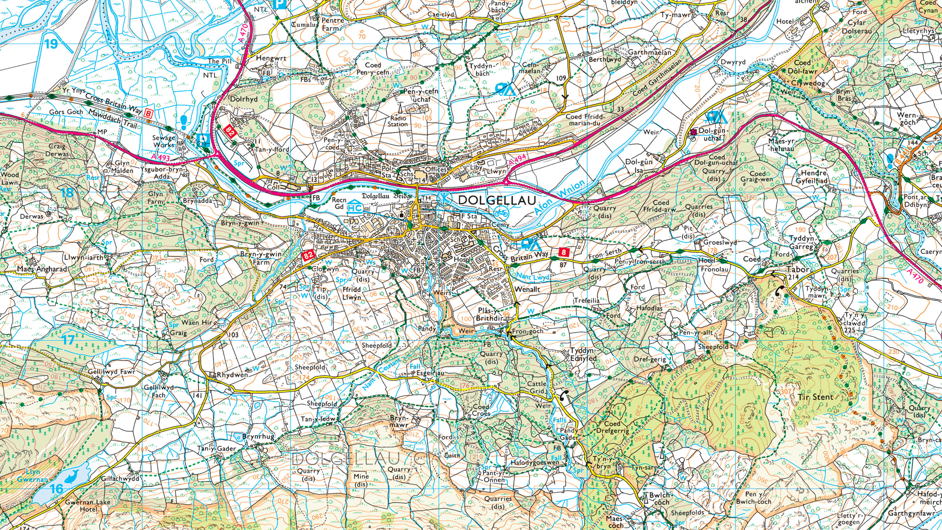
1:50 000 Scale Colour Raster
1:50 000 Scale Colour Raster is the digital alternative to Ordnance Survey's OS Landranger paper map series for Great Britain.
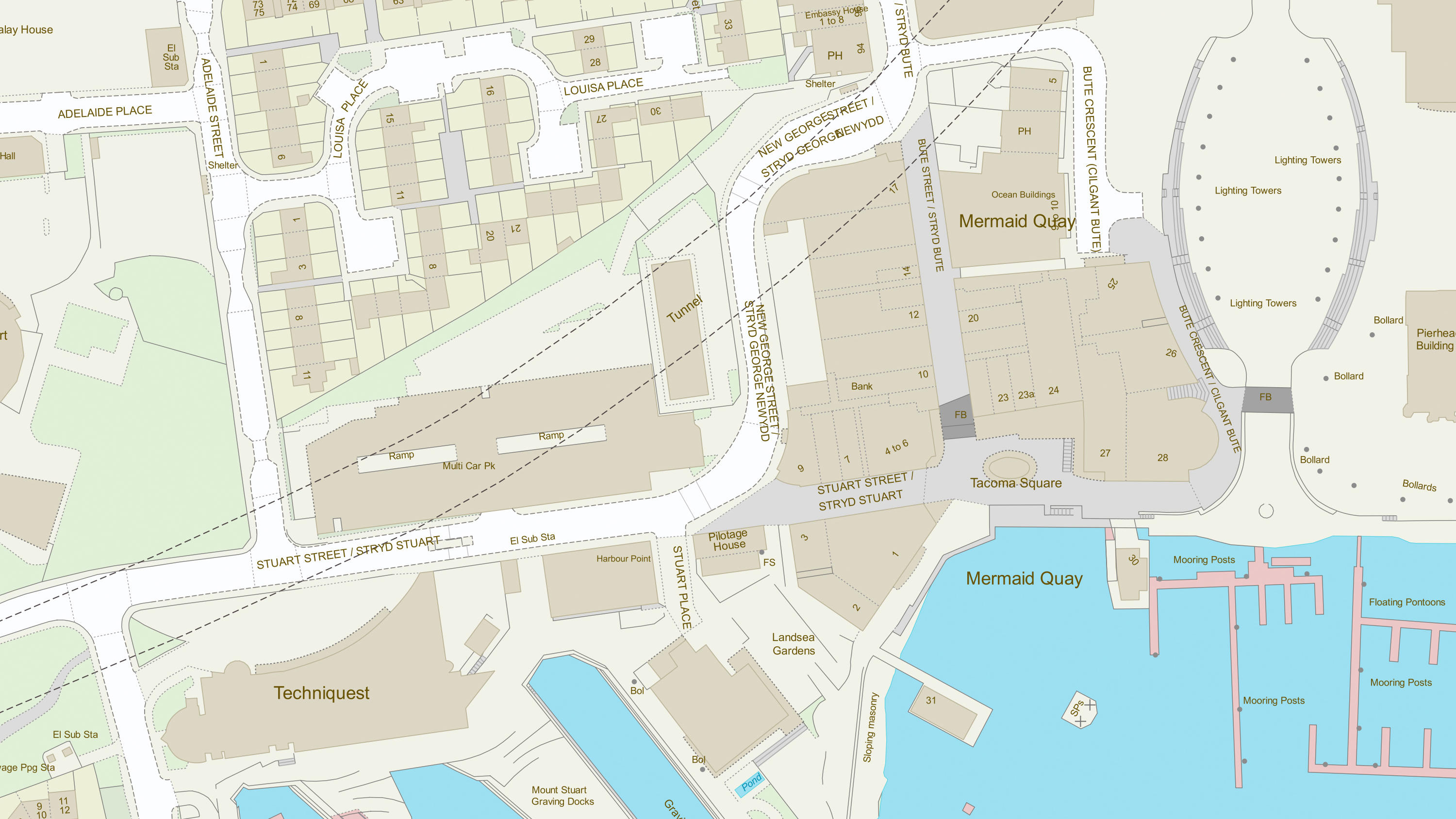
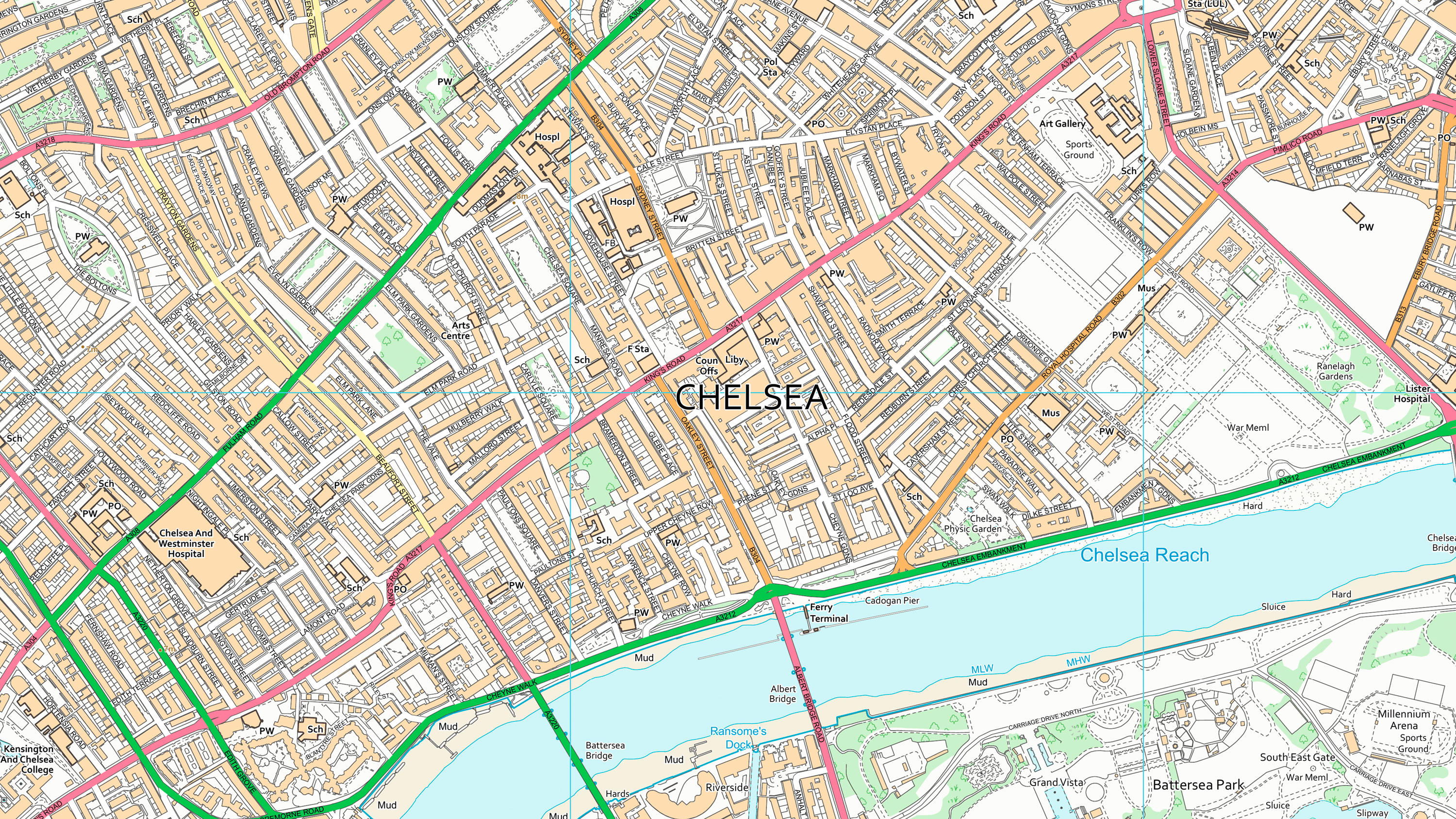
OS VectorMap Local
OS VectorMap® Local is a highly-detailed, customisable, street-level map, showing fences, building outlines, paths and street names.
Height and imagery data products
OS MasterMap Imagery Layer gives you the real-world view and OS Terrain 50 allows you to visualise simple landscapes in 3D.
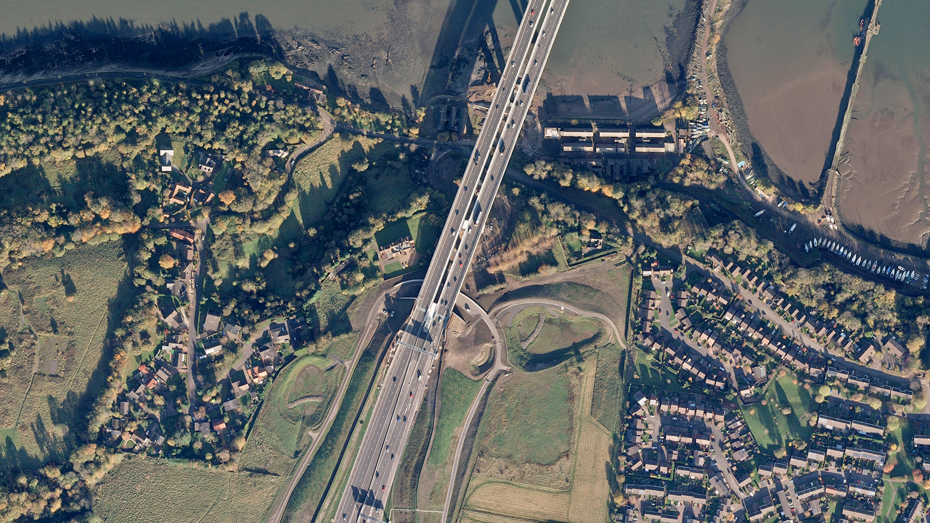
OS MasterMap Imagery Layer
Digital colour-balanced and corrected for geometric distortions (orthorectified) aerial photography for Great Britain.
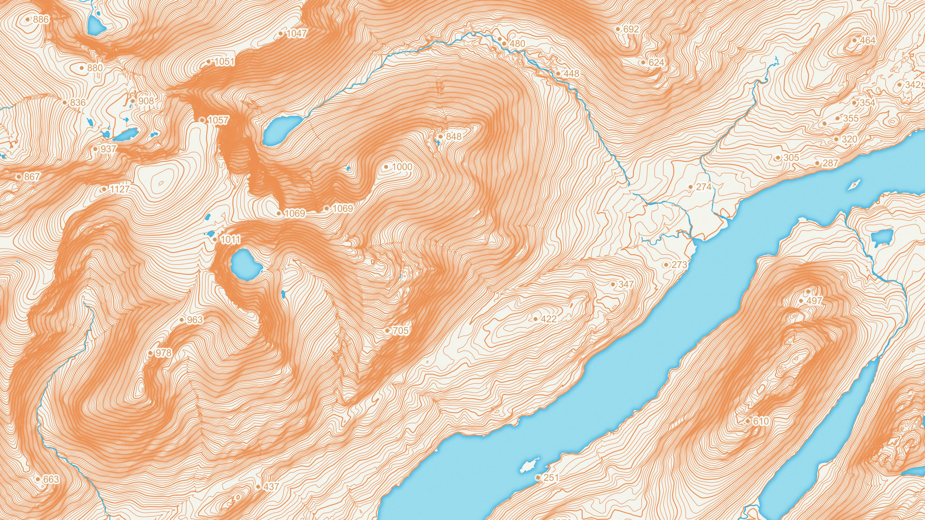
OS Terrain 5
OS Terrain® 5 is a detailed digital terrain model (DTM) of Great Britain.
Get a bespoke solution
One or more of our Partners will have already used our data to develop a solution that works for you and your business
If you require support or technical expertise from simply translating the data into your system or a more bespoke solution that uses our premium products, try contacting one of our Partners.